Earthquake SOUTHERN ALASKA
Tue, 26 Dec 2017 10:40:38 GMT
Time8 years ago
Location
61.6000, -151.7300
Depth
93.0 KM
Event Summary
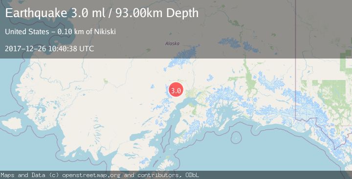
A 3.0 magnitude earthquake struck on SOUTHERN ALASKA, at Tue, 26 Dec 2017 10:40:38 GMT. Depth: 93km. Reviewed by NEIR seismologists, this minor quake occurred at a magnitude type of ml.
Magnitude
3.0
ml
Source
NEIR
Intensity
-
Agency Reports
1 Sources| Source | Magnitude | Depth | Time |
|---|---|---|---|
| NEIRPrimary | 3.0 | 93 km | 8 years ago |
Earthquake Details
AutomaticEvent IDemsc_NEIR_20171226_0000029
Tsunami PotentialNo
Magnitude Typeml
Nearest Places
- Talachulitna Lake6.4 km
- Judd Lake9.8 km
- Mount Oliver10.0 km
- Alder Creek12.6 km
- Kitty Lake13.9 km
Comments
Join the discussion about this event.
Latest Earthquakes
1.6Mag
Kenai Peninsula, Alaska
Time4 minutes ago
Depth42.60 km
SourceVYT (Automatic)
2.4Mag
Finland
Time6 minutes ago
Depth301.88 km
SourceVYT (Automatic)
1.2Mag
Alaska Peninsula
Time7 minutes ago
Depth0.12 km
SourceVYT (Automatic)
4.1Mag
NEAR COAST OF NORTHERN PERU
Time12 minutes ago
Depth35.00 km
SourceLIM (Automatic)
3.1Mag
DODECANESE IS.-TURKEY BORDER REG
Time13 minutes ago
Depth4.10 km
SourceKOERI (Automatic)
Nearby Earthquakes
1.6Mag
46 km SSW of Skwentna, Alaska
Time1 week ago
Depth77.60 km
SourceUSGS (Automatic)
1.9Mag
50 km SSW of Skwentna, Alaska
Time1 week ago
Depth110.00 km
SourceUSGS (Automatic)
3.0Mag
SOUTHERN ALASKA
Time3 years ago
Depth88.00 km
SourceNEIC (Automatic)
1.6Mag
40 km SSW of Skwentna, Alaska
Time1 week ago
Depth96.90 km
SourceUSGS (Automatic)
3.0Mag
SOUTHERN ALASKA
Time5 years ago
Depth84.00 km
SourceNEIC (Automatic)