Earthquake SOUTHEASTERN ALASKA
Fri, 26 Jan 2018 05:46:12 GMT
Time8 years ago
Location
59.5900, -138.8900
Depth
14.0 KM
Event Summary
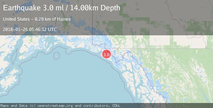
A 3.0 magnitude earthquake struck on SOUTHEASTERN ALASKA, at Fri, 26 Jan 2018 05:46:12 GMT. Depth: 14km. Reviewed by NEIR seismologists, this minor quake occurred at a magnitude type of ml.
Magnitude
3.0
ml
Source
NEIR
Intensity
-
Agency Reports
1 Sources| Source | Magnitude | Depth | Time |
|---|---|---|---|
| NEIRPrimary | 3.0 | 14 km | 8 years ago |
Earthquake Details
AutomaticEvent IDemsc_NEIR_20180126_0000020
Tsunami PotentialNo
Magnitude Typeml
Nearest Places
- Yakutat Glacier3.7 km
- Crescent Mountain7.1 km
- Moser Glacier7.5 km
- Miller Glacier8.0 km
- Black Tit10.8 km
Comments
Join the discussion about this event.
Latest Earthquakes
5.0Mag
Fox Islands, Aleutian Islands, Alaska
Time6 minutes ago
Depth0.00 km
SourceVYT (Automatic)
3.4Mag
southern Peru
Time9 minutes ago
Depth204.47 km
SourceVYT (Automatic)
2.1Mag
SAN FRANCISCO BAY AREA, CALIF.
Time12 minutes ago
Depth6.40 km
SourceNC (Automatic)
2.4Mag
Fox Islands, Aleutian Islands, Alaska
Time12 minutes ago
Depth44.43 km
SourceVYT (Automatic)
2.4Mag
British Columbia, Canada
Time12 minutes ago
Depth3.91 km
SourceVYT (Automatic)
Nearby Earthquakes
3.0Mag
SOUTHEASTERN ALASKA
Time4 years ago
Depth5.00 km
SourceNEIC (Automatic)
3.0Mag
SOUTHEASTERN ALASKA
Time7 years ago
Depth1.00 km
SourceNEIC (Automatic)
3.0Mag
SOUTHEASTERN ALASKA
Time2 years ago
Depth10.00 km
SourceNEIC (Automatic)
3.9Mag
SOUTHEASTERN ALASKA
Time3 weeks ago
Depth5.00 km
SourceAK (Automatic)
3.0Mag
SOUTHEASTERN ALASKA
Time8 years ago
Depth10.00 km
SourceNEIR (Automatic)