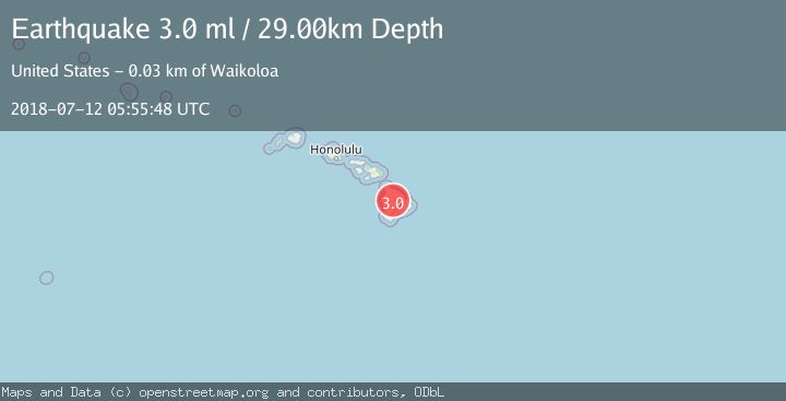
Earthquake ISLAND OF HAWAII, HAWAII
Thu, 12 Jul 2018 05:55:48 GMT
Time7 years ago
Location
19.7200, -155.5500
Depth
29.0 KM
Event Summary
A 3.0 magnitude earthquake struck on ISLAND OF HAWAII, HAWAII, at Thu, 12 Jul 2018 05:55:48 GMT. Depth: 29km. Reviewed by NEIR seismologists, this minor quake occurred at a magnitude type of ml.
Magnitude
3.0
ml
Source
NEIR
Intensity
-
Agency Reports
1 Sources| Source | Magnitude | Depth | Time |
|---|---|---|---|
| NEIRPrimary | 3.0 | 29 km | 7 years ago |
Earthquake Details
AutomaticEvent IDemsc_NEIR_20180712_0000103
Tsunami PotentialNo
Magnitude Typeml
Nearest Places
- Waikahalulu Gulch2.8 km
- Ke‘āmuku Lava Flow3.6 km
- Ka‘ohe3.7 km
- Pōhakuloa Ranger Station4.2 km
- Bradshaw Army Airfield4.4 km
Comments
Join the discussion about this event.
Latest Earthquakes
2.1Mag
WESTERN TEXAS
Time2 minutes ago
Depth0.00 km
SourceTX (Automatic)
1.9Mag
Tarapaca, Chile
Time6 minutes ago
Depth0.00 km
SourceVYT (Automatic)
1.0Mag
11 km SW of Anza, CA
Time9 minutes ago
Depth8.49 km
SourceUSGS (Automatic)
1.5Mag
WESTERN TURKEY
Time13 minutes ago
Depth7.00 km
SourceAFAD (Automatic)
2.5Mag
SIKKIM, INDIA
Time17 minutes ago
Depth5.00 km
SourceNDI (Automatic)
Nearby Earthquakes
3.0Mag
ISLAND OF HAWAII, HAWAII
Time6 years ago
Depth17.00 km
SourceNEIC (Automatic)
3.0Mag
ISLAND OF HAWAII, HAWAII
Time2 years ago
Depth35.00 km
SourceNEIC (Automatic)
3.0Mag
ISLAND OF HAWAII, HAWAII
Time9 months ago
Depth15.60 km
SourceHV (Automatic)
3.0Mag
ISLAND OF HAWAII, HAWAII
Time3 years ago
Depth-2.00 km
SourceNEIR (Automatic)
3.0Mag
ISLAND OF HAWAII, HAWAII
Time7 years ago
Depth9.00 km
SourceNEIR (Automatic)