Earthquake SOUTHERN ALASKA
Sun, 14 Oct 2018 13:20:04 GMT
Time7 years ago
Location
60.0900, -153.1400
Depth
125.0 KM
Event Summary
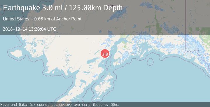
A 3.0 magnitude earthquake struck on SOUTHERN ALASKA, at Sun, 14 Oct 2018 13:20:04 GMT. Depth: 125km. Reviewed by NEIR seismologists, this minor quake occurred at a magnitude type of ml.
Magnitude
3.0
ml
Source
NEIR
Intensity
-
Agency Reports
1 Sources| Source | Magnitude | Depth | Time |
|---|---|---|---|
| NEIRPrimary | 3.0 | 125 km | 7 years ago |
Earthquake Details
AutomaticEvent IDemsc_NEIR_20181014_0000051
Tsunami PotentialNo
Magnitude Typeml
Nearest Places
- Tuxedni Glacier4.3 km
- Tongue Glacier5.0 km
- Mount Nick5.3 km
- Johnson Glacier6.0 km
- Iliamna Volcano7.0 km
Comments
Join the discussion about this event.
Latest Earthquakes
2.4Mag
Finland-Russia border region
Time2 minutes ago
Depth341.92 km
SourceVYT (Automatic)
0.9Mag
8 km W of Cobb, CA
Time7 minutes ago
Depth1.53 km
SourceUSGS (Automatic)
1.8Mag
Central Alaska
Time10 minutes ago
Depth2.08 km
SourceVYT (Automatic)
2.9Mag
WESTERN TURKEY
Time13 minutes ago
Depth11.80 km
SourceKOERI (Automatic)
2.8Mag
Sulawesi, Indonesia
Time13 minutes ago
Depth21.08 km
SourceBMKG
Nearby Earthquakes
2.4Mag
Southern Alaska
Time1 week ago
Depth126.22 km
SourceVYT (Automatic)
3.0Mag
SOUTHERN ALASKA
Time3 years ago
Depth129.00 km
SourceNEIC (Automatic)
3.0Mag
SOUTHERN ALASKA
Time8 months ago
Depth129.40 km
SourceAK (Automatic)
1.7Mag
Southern Alaska
Time3 days ago
Depth0.49 km
SourceVYT (Automatic)
3.0Mag
SOUTHERN ALASKA
Time1 year ago
Depth131.30 km
SourceNEIC (Automatic)