Earthquake GREENLAND SEA
Sat, 17 Jan 2026 17:54:00 GMT
Time1 month ago
Location
74.0337, 9.5466
Depth
4.7 KM
Event Summary
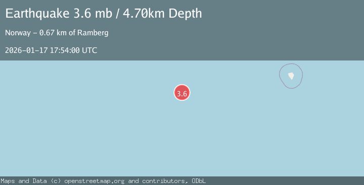
A 3.6 magnitude earthquake struck on GREENLAND SEA, at Sat, 17 Jan 2026 17:54:00 GMT. Depth: 4.7km. Reviewed by NORSAR seismologists, this minor quake occurred at a magnitude type of mb.
Magnitude
3.6
mb
Source
NORSAR
Intensity
-
Agency Reports
1 Sources| Source | Magnitude | Depth | Time |
|---|---|---|---|
| NORSARPrimary | 3.6 | 5 km | 1 month ago |
Earthquake Details
AutomaticEvent IDemsc_NORSAR_20260117_0000196
Tsunami PotentialNo
Magnitude Typemb
Nearest Places
- Russebanken168.5 km
- Hamlinggrunnen181.9 km
- Vestbakken206.9 km
- Nordre Bjørnøybanken219.5 km
- Mudderbanken221.0 km
Comments
Join the discussion about this event.
Latest Earthquakes
2.5Mag
South of Java, Indonesia
Time4 hours ago
Depth10.47 km
SourceBMKG
1.3Mag
Southern Alaska
Time4 hours ago
Depth0.00 km
SourceVYT (Automatic)
0.7Mag
8 km WNW of Lake Henshaw, CA
Time4 hours ago
Depth12.84 km
SourceUSGS (Automatic)
3.5Mag
Flores region, Indonesia
Time4 hours ago
Depth19.17 km
SourceVYT (Automatic)
3.9Mag
Norwegian Sea
Time4 hours ago
Depth43.82 km
SourceVYT (Automatic)
Nearby Earthquakes
3.0Mag
GREENLAND SEA
Time3 years ago
Depth10.00 km
SourceBER (Automatic)
3.6Mag
GREENLAND SEA
Time3 weeks ago
Depth10.00 km
SourceBER (Automatic)
3.0Mag
GREENLAND SEA
Time15 years ago
Depth10.00 km
SourceEMSC (Automatic)
3.0Mag
GREENLAND SEA
Time11 years ago
Depth29.00 km
SourceBER (Automatic)
4.0Mag
GREENLAND SEA
Time1 year ago
Depth10.00 km
SourceBER (Automatic)