Earthquake 8 km WNW of Lake Henshaw, CA
Thu, 19 Feb 2026 14:24:21 GMT
Time1 hour ago
Location
33.2773, -116.8385
Depth
12.8 KM
Event Summary
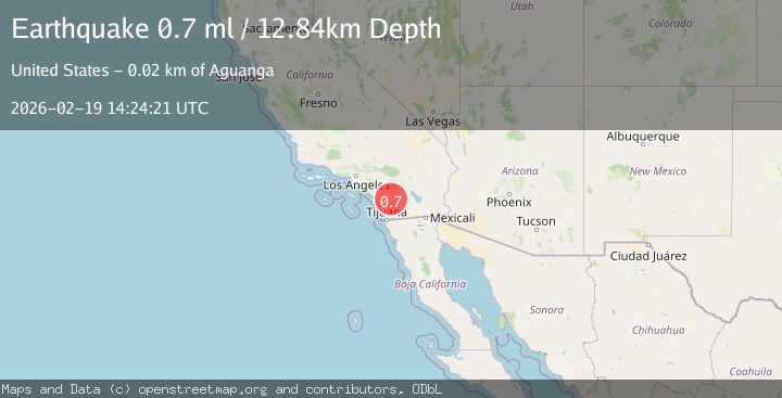
A 0.7 magnitude earthquake struck on 8 km WNW of Lake Henshaw, CA, at Thu, 19 Feb 2026 14:24:21 GMT. Depth: 12.84km. Reviewed by USGS seismologists, this minor quake occurred at a magnitude type of ml.
Magnitude
0.7
ml
Source
USGS
Intensity
-
Agency Reports
1 Sources| Source | Magnitude | Depth | Time |
|---|---|---|---|
| USGSPrimary | 0.7 | 13 km | 1 hour ago |
Earthquake Details
AutomaticEvent IDusgs_ci41187935
Tsunami PotentialNo
Magnitude Typeml
Nearest Places
- La Jolla Recreation Site1.5 km
- Cedar Creek1.6 km
- Lusardi Canyon2.0 km
- La Jolla Amago2.4 km
- Jeff Valley2.7 km
Comments
Join the discussion about this event.
Latest Earthquakes
2.0Mag
Southern Alaska
Time1 hour ago
Depth10.50 km
SourceVYT (Automatic)
2.7Mag
South of Bali, Indonesia
Time1 hour ago
Depth8.65 km
SourceBMKG
1.3Mag
Southern Alaska
Time1 hour ago
Depth0.00 km
SourceVYT (Automatic)
3.5Mag
Flores region, Indonesia
Time1 hour ago
Depth19.17 km
SourceVYT (Automatic)
3.9Mag
Norwegian Sea
Time1 hour ago
Depth43.82 km
SourceVYT (Automatic)
Nearby Earthquakes
0.4Mag
8 km SSE of Palomar Observatory, CA
Time3 days ago
Depth15.36 km
SourceUSGS (Automatic)
1.2Mag
4 km W of Lake Henshaw, CA
Time19 hours ago
Depth12.20 km
SourceUSGS (Automatic)
1.4Mag
4 km W of Lake Henshaw, CA
Time1 day ago
Depth12.37 km
SourceUSGS (Automatic)
0.6Mag
4 km W of Lake Henshaw, CA
Time3 days ago
Depth12.57 km
SourceUSGS (Automatic)
0.7Mag
4 km W of Lake Henshaw, CA
Time4 days ago
Depth11.64 km
SourceUSGS (Automatic)