Earthquake AZORES ISLANDS REGION
Sat, 17 Jan 2026 07:52:17 GMT
Time1 month ago
Location
37.5280, -24.8220
Depth
7.9 KM
Event Summary
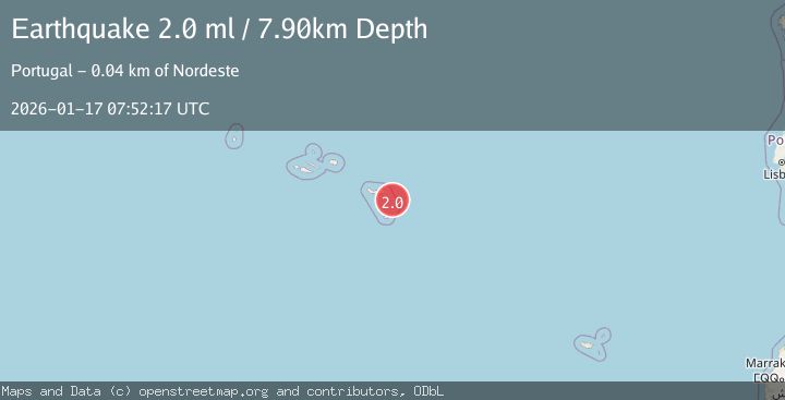
A 2.0 magnitude earthquake struck on AZORES ISLANDS REGION, at Sat, 17 Jan 2026 07:52:17 GMT. Depth: 7.9km. Reviewed by PDA seismologists, this minor quake occurred at a magnitude type of ml.
Magnitude
2.0
ml
Source
PDA
Intensity
-
Agency Reports
1 Sources| Source | Magnitude | Depth | Time |
|---|---|---|---|
| PDAPrimary | 2.0 | 8 km | 1 month ago |
Earthquake Details
AutomaticEvent IDemsc_PDA_20260117_0000086
Tsunami PotentialNo
Magnitude Typeml
Nearest Places
- Ilhéus das Formigas29.3 km
- Ponta da Retorta38.0 km
- Fajã do Calhau38.0 km
- Terra Chã38.0 km
- Lomba das Fagundes38.0 km
Comments
Join the discussion about this event.
Latest Earthquakes
3.4Mag
Banda Sea
Time4 minutes ago
Depth153.32 km
SourceVYT (Automatic)
0.9Mag
Southern Alaska
Time5 minutes ago
Depth0.61 km
SourceVYT (Automatic)
1.3Mag
WESTERN TURKEY
Time15 minutes ago
Depth6.60 km
SourceAFAD (Automatic)
3.4Mag
NEAR COAST OF NICARAGUA
Time17 minutes ago
Depth35.00 km
SourceUNA (Automatic)
3.2Mag
Kepulauan Aru region, Indonesia
Time19 minutes ago
Depth92.04 km
SourceVYT (Automatic)
Nearby Earthquakes
2.1Mag
AZORES ISLANDS REGION
Time1 month ago
Depth4.80 km
SourcePDA (Automatic)
3.0Mag
AZORES ISLANDS REGION
Time12 years ago
Depth1.00 km
SourcePDA (Automatic)
3.0Mag
AZORES ISLANDS REGION
Time6 years ago
Depth12.00 km
SourcePDA (Automatic)
3.0Mag
AZORES ISLANDS REGION
Time15 years ago
Depth5.00 km
SourceEMSC (Automatic)
3.0Mag
AZORES ISLANDS REGION
Time4 years ago
Depth1.00 km
SourcePDA (Automatic)