Earthquake PHILIPPINE ISLANDS REGION
Sat, 17 Feb 2024 08:24:14 GMT
Time2 years ago
Location
8.7800, 127.0200
Depth
27.0 KM
Event Summary
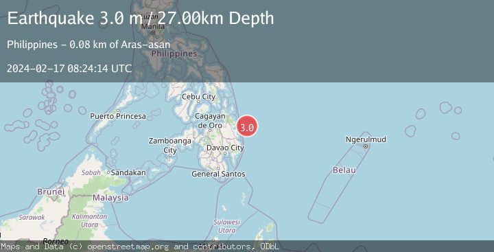
A 3.0 magnitude earthquake struck on PHILIPPINE ISLANDS REGION, at Sat, 17 Feb 2024 08:24:14 GMT. Depth: 27km. Reviewed by PIVS seismologists, this minor quake occurred at a magnitude type of m.
Magnitude
3.0
m
Source
PIVS
Intensity
-
Agency Reports
1 Sources| Source | Magnitude | Depth | Time |
|---|---|---|---|
| PIVSPrimary | 3.0 | 27 km | 2 years ago |
Earthquake Details
AutomaticEvent IDemsc_PIVS_20240217_0000103
Tsunami PotentialNo
Magnitude Typem
Nearest Places
- Philippine Trench24.6 km
- Singag Island74.9 km
- Umanum Point75.7 km
- Arangasa Islands75.9 km
- Lamon Point76.8 km
Comments
Join the discussion about this event.
Latest Earthquakes
3.8Mag
Andreanof Islands, Aleutian Islands, Alaska
Time20 hours ago
Depth15.50 km
SourceVYT (Automatic)
1.4Mag
WESTERN TURKEY
Time20 hours ago
Depth11.40 km
SourceAFAD (Automatic)
1.7Mag
40 km NW of Toyah, Texas
Time20 hours ago
Depth4.25 km
SourceUSGS (Automatic)
1.3Mag
SWITZERLAND
Time20 hours ago
Depth7.60 km
SourceETHZ (Automatic)
3.8Mag
PHILIPPINE ISLANDS REGION
Time20 hours ago
Depth9.00 km
SourcePIVS (Automatic)
Nearby Earthquakes
4.0Mag
PHILIPPINE ISLANDS REGION
Time2 years ago
Depth27.00 km
SourcePIVS (Automatic)
3.0Mag
PHILIPPINE ISLANDS REGION
Time1 year ago
Depth31.00 km
SourcePIVS (Automatic)
5.1Mag
PHILIPPINE ISLANDS REGION
Time2 years ago
Depth38.00 km
SourceEMSC (Automatic)
3.0Mag
MINDANAO, PHILIPPINES
Time3 years ago
Depth15.00 km
SourcePIVS (Automatic)
5.0Mag
PHILIPPINE ISLANDS REGION
Time15 years ago
Depth31.00 km
SourceEMSC (Automatic)