Earthquake PHILIPPINE ISLANDS REGION
Wed, 07 Jan 2026 16:30:47 GMT
Time1 month ago
Location
6.6600, 127.0300
Depth
3.0 KM
Event Summary
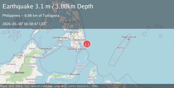
A 3.1 magnitude earthquake struck on PHILIPPINE ISLANDS REGION, at Wed, 07 Jan 2026 16:30:47 GMT. Depth: 3km. Reviewed by PIVS seismologists, this minor quake occurred at a magnitude type of m.
Magnitude
3.1
m
Source
PIVS
Intensity
-
Agency Reports
1 Sources| Source | Magnitude | Depth | Time |
|---|---|---|---|
| PIVSPrimary | 3.1 | 3 km | 1 month ago |
Earthquake Details
AutomaticEvent IDemsc_PIVS_20260107_0000283
Tsunami PotentialNo
Magnitude Typem
Nearest Places
- Cateel67.3 km
- Tugubun Point73.3 km
- Mayo Bay74.5 km
- Baguan River75.7 km
- Magbiga Point76.0 km
Comments
Join the discussion about this event.
Latest Earthquakes
0.4Mag
31 km NW of Toyah, Texas
Time4 minutes ago
Depth4.11 km
SourceUSGS (Automatic)
2.5Mag
Tarapaca, Chile
Time10 minutes ago
Depth0.12 km
SourceVYT (Automatic)
2.3Mag
West Papua Region, Indonesia
Time15 minutes ago
Depth10.00 km
SourceBMKG
2.3Mag
FRANCE
Time18 minutes ago
Depth5.00 km
SourceReNaSS (Automatic)
2.6Mag
Tarapaca, Chile
Time21 minutes ago
Depth106.08 km
SourceVYT (Automatic)
Nearby Earthquakes
4.0Mag
PHILIPPINE ISLANDS REGION
Time1 year ago
Depth10.00 km
SourcePIVS (Automatic)
3.0Mag
MINDANAO, PHILIPPINES
Time2 years ago
Depth162.00 km
SourcePIVS (Automatic)
5.1Mag
MINDANAO, PHILIPPINES
Time14 years ago
Depth80.00 km
SourceEMSC (Automatic)
4.0Mag
PHILIPPINE ISLANDS REGION
Time3 years ago
Depth9.00 km
SourcePIVS (Automatic)
3.0Mag
MINDANAO, PHILIPPINES
Time4 years ago
Depth15.00 km
SourcePIVS (Automatic)