Earthquake MINDANAO, PHILIPPINES
Tue, 27 Jan 2026 08:41:01 GMT
Time10 hours ago
Location
5.0800, 126.9800
Depth
83.0 KM
Event Summary
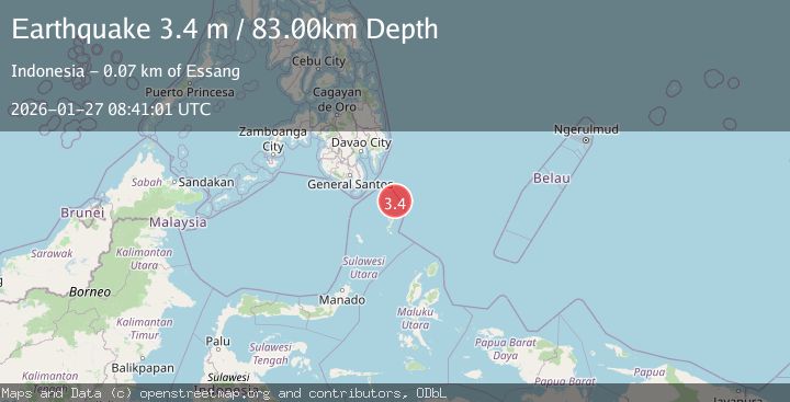
A 3.4 magnitude earthquake struck on MINDANAO, PHILIPPINES, at Tue, 27 Jan 2026 08:41:01 GMT. Depth: 83km. Reviewed by PIVS seismologists, this minor quake occurred at a magnitude type of m.
Magnitude
3.4
m
Source
PIVS
Intensity
-
Agency Reports
1 Sources| Source | Magnitude | Depth | Time |
|---|---|---|---|
| PIVSPrimary | 3.4 | 83 km | 10 hours ago |
Earthquake Details
AutomaticEvent IDemsc_PIVS_20260127_0000137
Tsunami PotentialNo
Magnitude Typem
Nearest Places
- Pulau Garat32.5 km
- Napu Mamone37.8 km
- Desa Dampulis39.0 km
- Dampulis39.2 km
- Desa Marampit39.4 km
Comments
Join the discussion about this event.
Latest Earthquakes
0.5Mag
6 km NW of The Geysers, CA
Time10 hours ago
Depth2.86 km
SourceUSGS (Automatic)
3.0Mag
Minahassa Peninsula, Sulawesi
Time10 hours ago
Depth10.59 km
SourceBMKG (Automatic)
3.5Mag
MENDOZA, ARGENTINA
Time10 hours ago
Depth10.00 km
SourceNSNA (Automatic)
1.1Mag
30 km NE of Los Alamos, CA
Time10 hours ago
Depth4.17 km
SourceUSGS (Automatic)
1.2Mag
EASTERN TURKEY
Time10 hours ago
Depth7.00 km
SourceAFAD (Automatic)
Nearby Earthquakes
3.3Mag
MINDANAO, PHILIPPINES
Time3 days ago
Depth3.00 km
SourcePIVS (Automatic)
4.5Mag
Mindanao, Philippines
Time3 days ago
Depth14.02 km
SourceBMKG (Automatic)
3.8Mag
Mindanao, Philippines
Time2 days ago
Depth43.36 km
SourceBMKG (Automatic)
3.2Mag
Talaud Islands, Indonesia
Time2 days ago
Depth10.11 km
SourceBMKG (Automatic)
2.9Mag
Talaud Islands, Indonesia
Time1 day ago
Depth39.53 km
SourceBMKG (Automatic)