Earthquake PHILIPPINE ISLANDS REGION
Fri, 27 Feb 2026 02:59:43 GMT
Time2 hours ago
Location
12.3500, 126.1400
Depth
10.0 KM
Event Summary
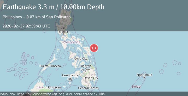
A 3.3 magnitude earthquake struck on PHILIPPINE ISLANDS REGION, at Fri, 27 Feb 2026 02:59:43 GMT. Depth: 10km. Reviewed by PIVS seismologists, this minor quake occurred at a magnitude type of m.
Magnitude
3.3
m
Source
PIVS
Intensity
-
Agency Reports
1 Sources| Source | Magnitude | Depth | Time |
|---|---|---|---|
| PIVSPrimary | 3.3 | 10 km | 2 hours ago |
Earthquake Details
AutomaticEvent IDemsc_PIVS_20260227_0000038
Tsunami PotentialNo
Magnitude Typem
Nearest Places
- 67.6 km
- 67.9 km
- 68.4 km
- 68.6 km
- 68.9 km
Comments
Join the discussion about this event.
Latest Earthquakes
3.5Mag
Fox Islands, Aleutian Islands, Alaska
Time1 hour ago
Depth0.00 km
SourceVYT (Automatic)
4.3Mag
Fox Islands, Aleutian Islands, Alaska
Time1 hour ago
Depth18.92 km
SourceVYT (Automatic)
1.4Mag
6 km WNW of Camp Pendleton South, CA
Time2 hours ago
Depth14.56 km
SourceUSGS (Automatic)
1.5Mag
5 km WNW of The Geysers, CA
Time2 hours ago
Depth3.46 km
SourceUSGS (Automatic)
1.8Mag
Region Metropolitana, Chile
Time2 hours ago
Depth11.60 km
SourceVYT (Automatic)
Nearby Earthquakes
3.0Mag
PHILIPPINE ISLANDS REGION
Time3 years ago
Depth24.00 km
SourcePIVS (Automatic)
4.0Mag
SAMAR, PHILIPPINES
Time3 years ago
Depth24.00 km
SourcePIVS (Automatic)
4.0Mag
PHILIPPINE ISLANDS REGION
Time1 year ago
Depth7.00 km
SourcePIVS (Automatic)
3.0Mag
SAMAR, PHILIPPINES
Time2 years ago
Depth22.00 km
SourcePIVS (Automatic)
3.0Mag
PHILIPPINE ISLANDS REGION
Time3 years ago
Depth16.00 km
SourcePIVS (Automatic)