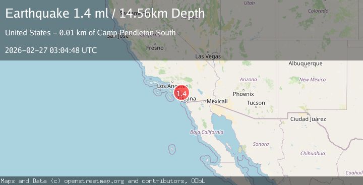
Earthquake 6 km WNW of Camp Pendleton South, CA
Fri, 27 Feb 2026 03:04:48 GMT
Time2 hours ago
Location
33.2520, -117.4337
Depth
14.6 KM
Event Summary
A 1.4 magnitude earthquake struck on 6 km WNW of Camp Pendleton South, CA, at Fri, 27 Feb 2026 03:04:48 GMT. Depth: 14.5600004196167km. Reviewed by USGS seismologists, this minor quake occurred at a magnitude type of ml.
Magnitude
1.4
ml
Source
USGS
Intensity
-
Agency Reports
1 Sources| Source | Magnitude | Depth | Time |
|---|---|---|---|
| USGSPrimary | 1.4 | 15 km | 2 hours ago |
Earthquake Details
AutomaticEvent IDusgs_ci41404944
Tsunami PotentialNo
Magnitude Typeml
Nearest Places
- 0.2 km
- 0.9 km
- 1.2 km
- 1.4 km
- 1.7 km
Comments
Join the discussion about this event.
Latest Earthquakes
3.5Mag
Fox Islands, Aleutian Islands, Alaska
Time1 hour ago
Depth0.00 km
SourceVYT (Automatic)
4.3Mag
Fox Islands, Aleutian Islands, Alaska
Time1 hour ago
Depth18.92 km
SourceVYT (Automatic)
3.3Mag
PHILIPPINE ISLANDS REGION
Time2 hours ago
Depth10.00 km
SourcePIVS (Automatic)
1.5Mag
5 km WNW of The Geysers, CA
Time2 hours ago
Depth3.46 km
SourceUSGS (Automatic)
1.8Mag
Region Metropolitana, Chile
Time2 hours ago
Depth11.60 km
SourceVYT (Automatic)
Nearby Earthquakes
2.2Mag
26 km SW of Carlsbad, CA
Time1 week ago
Depth19.69 km
SourceUSGS (Automatic)
3.0Mag
GULF OF SANTA CATALINA, CALIF.
Time6 years ago
Depth13.00 km
SourceNEIC (Automatic)
3.0Mag
GULF OF SANTA CATALINA, CALIF.
Time10 years ago
Depth1.00 km
SourceNEIR (Automatic)
4.0Mag
SOUTHERN CALIFORNIA
Time6 years ago
Depth14.00 km
SourceNEIC (Automatic)
3.0Mag
GULF OF SANTA CATALINA, CALIF.
Time2 years ago
Depth16.30 km
SourceSCSN (Automatic)