Earthquake MYANMAR
Sat, 17 Jan 2026 07:17:39 GMT
Time1 month ago
Location
22.1430, 96.2750
Depth
10.0 KM
Event Summary
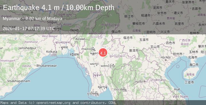
A 4.1 magnitude earthquake struck on MYANMAR, at Sat, 17 Jan 2026 07:17:39 GMT. Depth: 10km. Reviewed by TSB seismologists, this light quake occurred at a magnitude type of m.
Magnitude
4.1
m
Source
TSB
Intensity
-
Agency Reports
1 Sources| Source | Magnitude | Depth | Time |
|---|---|---|---|
| TSBPrimary | 4.1 | 10 km | 1 month ago |
Earthquake Details
AutomaticEvent IDemsc_TSB_20260117_0000081
Tsunami PotentialNo
Magnitude Typem
Nearest Places
- 1.4 km
- 3.1 km
- 4.1 km
- 5.1 km
- 5.2 km
Comments
Join the discussion about this event.
Latest Earthquakes
1.1Mag
55 km WNW of Tatitlek, Alaska
Time5 minutes ago
Depth20.40 km
SourceUSGS (Automatic)
1.1Mag
63 km SE of Cantwell, Alaska
Time10 minutes ago
Depth58.50 km
SourceUSGS (Automatic)
2.4Mag
Antofagasta, Chile
Time10 minutes ago
Depth0.00 km
SourceVYT (Automatic)
4.6Mag
north of Halmahera, Indonesia
Time17 minutes ago
Depth10.00 km
SourceVYT (Automatic)
4.4Mag
MOLUCCA SEA
Time17 minutes ago
Depth32.00 km
SourcePIVS (Automatic)
Nearby Earthquakes
4.0Mag
MYANMAR
Time1 month ago
Depth10.00 km
SourceTSB (Automatic)
4.0Mag
MYANMAR
Time7 months ago
Depth10.00 km
SourceTSB (Automatic)
4.0Mag
MYANMAR
Time10 months ago
Depth10.00 km
SourceTSB (Automatic)
4.0Mag
MYANMAR
Time9 months ago
Depth10.00 km
SourceTSB (Automatic)
3.0Mag
MYANMAR
Time6 months ago
Depth10.00 km
SourceTSB (Automatic)