Earthquake 55 km WNW of Tatitlek, Alaska
Sat, 21 Feb 2026 20:41:06 GMT
Time1 hour ago
Location
61.1290, -147.5460
Depth
20.4 KM
Event Summary
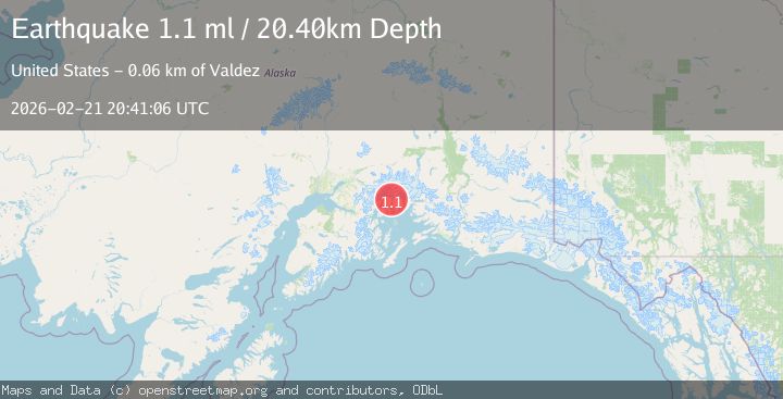
A 1.1 magnitude earthquake struck on 55 km WNW of Tatitlek, Alaska, at Sat, 21 Feb 2026 20:41:06 GMT. Depth: 20.4km. Reviewed by USGS seismologists, this minor quake occurred at a magnitude type of ml.
Magnitude
1.1
ml
Source
USGS
Intensity
-
Agency Reports
1 Sources| Source | Magnitude | Depth | Time |
|---|---|---|---|
| USGSPrimary | 1.1 | 20 km | 1 hour ago |
Earthquake Details
AutomaticEvent IDusgs_aka2026drfejt
Tsunami PotentialNo
Magnitude Typeml
Nearest Places
- 3.0 km
- 4.7 km
- 5.5 km
- 5.8 km
- 6.0 km
Comments
Join the discussion about this event.
Latest Earthquakes
2.1Mag
Tarapaca, Chile
Time1 hour ago
Depth100.10 km
SourceVYT (Automatic)
1.1Mag
63 km SE of Cantwell, Alaska
Time1 hour ago
Depth58.50 km
SourceUSGS (Automatic)
2.4Mag
Antofagasta, Chile
Time1 hour ago
Depth0.00 km
SourceVYT (Automatic)
4.6Mag
north of Halmahera, Indonesia
Time1 hour ago
Depth10.00 km
SourceVYT (Automatic)
4.4Mag
MOLUCCA SEA
Time1 hour ago
Depth32.00 km
SourcePIVS (Automatic)
Nearby Earthquakes
1.3Mag
Southern Alaska
Time1 week ago
Depth3.17 km
SourceVYT (Automatic)
1.4Mag
Southern Alaska
Time2 days ago
Depth0.00 km
SourceVYT (Automatic)
1.5Mag
52 km WNW of Tatitlek, Alaska
Time0 months ago
Depth7.30 km
SourceUSGS (Automatic)
2.1Mag
Southern Alaska
Time1 week ago
Depth2.44 km
SourceVYT (Automatic)
1.7Mag
Southern Alaska
Time4 days ago
Depth0.00 km
SourceVYT (Automatic)