Earthquake MYANMAR
Mon, 26 Jan 2026 12:39:35 GMT
Time21 hours ago
Location
19.7170, 96.3770
Depth
10.0 KM
Event Summary
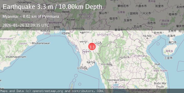
A 3.3 magnitude earthquake struck on MYANMAR, at Mon, 26 Jan 2026 12:39:35 GMT. Depth: 10km. Reviewed by TSB seismologists, this minor quake occurred at a magnitude type of m.
Magnitude
3.3
m
Source
TSB
Intensity
-
Agency Reports
1 Sources| Source | Magnitude | Depth | Time |
|---|---|---|---|
| TSBPrimary | 3.3 | 10 km | 21 hours ago |
Earthquake Details
AutomaticEvent IDemsc_TSB_20260126_0000222
Tsunami PotentialNo
Magnitude Typem
Nearest Places
- Hpa Laung0.6 km
- Alagabalaung0.7 km
- Teinpyaung Auk1.2 km
- Mulundeinpyaung1.3 km
- Ziyaing Reserved Forest1.6 km
Comments
Join the discussion about this event.
Latest Earthquakes
2.2Mag
Sumbawa Region, Indonesia
Time21 hours ago
Depth72.67 km
SourceBMKG (Automatic)
1.2Mag
4 km ESE of Yorba Linda, CA
Time22 hours ago
Depth10.06 km
SourceUSGS (Automatic)
3.6Mag
South of Java, Indonesia
Time22 hours ago
Depth27.60 km
SourceBMKG (Automatic)
2.6Mag
COQUIMBO, CHILE
Time22 hours ago
Depth57.60 km
SourceCSN (Automatic)
1.6Mag
35 km ENE of Nixon, Nevada
Time22 hours ago
Depth13.12 km
SourceUSGS (Automatic)
Nearby Earthquakes
3.8Mag
MYANMAR
Time2 days ago
Depth10.00 km
SourceTSB (Automatic)
3.4Mag
MYANMAR
Time1 day ago
Depth10.00 km
SourceTSB (Automatic)
3.0Mag
MYANMAR
Time4 days ago
Depth10.00 km
SourceTSB (Automatic)
2.4Mag
Myanmar
Time5 days ago
Depth10.00 km
SourceTMD (Automatic)
3.1Mag
MYANMAR
Time1 day ago
Depth10.00 km
SourceTSB (Automatic)