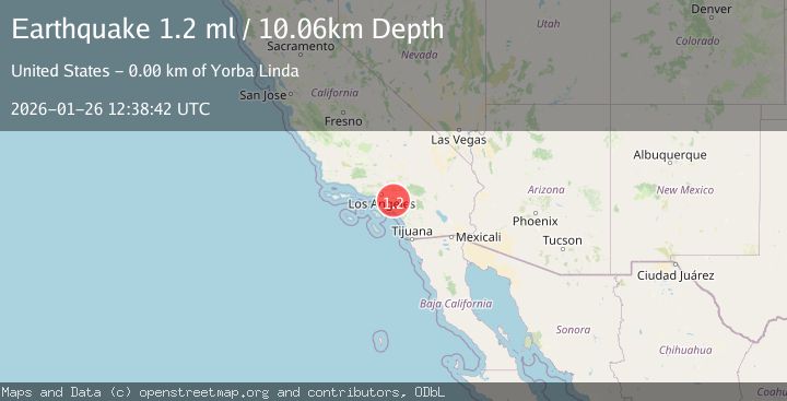
Earthquake 4 km ESE of Yorba Linda, CA
Mon, 26 Jan 2026 12:38:42 GMT
Time21 hours ago
Location
33.8698, -117.7727
Depth
10.1 KM
Event Summary
A 1.2 magnitude earthquake struck on 4 km ESE of Yorba Linda, CA, at Mon, 26 Jan 2026 12:38:42 GMT. Depth: 10.0600004196167km. Reviewed by USGS seismologists, this minor quake occurred at a magnitude type of ml.
Magnitude
1.2
ml
Source
USGS
Intensity
-
Agency Reports
1 Sources| Source | Magnitude | Depth | Time |
|---|---|---|---|
| USGSPrimary | 1.2 | 10 km | 21 hours ago |
Earthquake Details
AutomaticEvent IDusgs_ci41172623
Tsunami PotentialNo
Magnitude Typeml
Nearest Places
- Woodsboro Elementary School0.1 km
- Yorba Regional Park0.8 km
- Yorba Hacienda Historical Marker0.9 km
- Woodgate Park1.1 km
- Yorba Cemetery1.2 km
Comments
Join the discussion about this event.
Latest Earthquakes
2.6Mag
Minahassa Peninsula, Sulawesi
Time13 hours ago
Depth118.00 km
SourceBMKG (Automatic)
2.8Mag
South of Bali, Indonesia
Time13 hours ago
Depth10.00 km
SourceBMKG (Automatic)
1.7Mag
31 km SE of Denali National Park, Alaska
Time13 hours ago
Depth0.60 km
SourceUSGS (Automatic)
2.2Mag
WESTERN TURKEY
Time13 hours ago
Depth14.90 km
SourceKOERI (Automatic)
2.2Mag
13 km NW of Ferry, Alaska
Time13 hours ago
Depth139.50 km
SourceUSGS (Automatic)
Nearby Earthquakes
1.6Mag
1 km NNW of Placentia, CA
Time1 day ago
Depth12.59 km
SourceUSGS (Automatic)
1.5Mag
2 km SSE of Home Gardens, CA
Time14 hours ago
Depth1.00 km
SourceUSGS (Automatic)
1.9Mag
5 km SSE of Home Gardens, CA
Time4 days ago
Depth2.41 km
SourceUSGS (Automatic)
1.0Mag
1 km N of West Puente Valley, CA
Time2 days ago
Depth12.19 km
SourceUSGS (Automatic)
2.4Mag
GREATER LOS ANGELES AREA, CALIF.
Time4 days ago
Depth7.00 km
SourceSCSN (Automatic)