Earthquake WESTERN TEXAS
Wed, 07 Jan 2026 23:54:30 GMT
Time1 month ago
Location
31.5490, -104.1370
Depth
7.9 KM
Event Summary
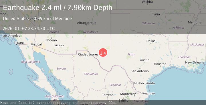
A 2.4 magnitude earthquake struck on WESTERN TEXAS, at Wed, 07 Jan 2026 23:54:30 GMT. Depth: 7.9km. Reviewed by TX seismologists, this minor quake occurred at a magnitude type of ml.
Magnitude
2.4
ml
Source
TX
Intensity
-
Agency Reports
1 Sources| Source | Magnitude | Depth | Time |
|---|---|---|---|
| TXPrimary | 2.4 | 8 km | 1 month ago |
Earthquake Details
AutomaticEvent IDemsc_TX_20260107_0000396
Tsunami PotentialNo
Magnitude Typeml
Nearest Places
- Brooks Ranch3.8 km
- Two Mill Draw4.0 km
- Big Canyon Draw4.6 km
- Dutch Draw6.3 km
- Gulf Windmill6.7 km
Comments
Join the discussion about this event.
Latest Earthquakes
2.3Mag
Tarapaca, Chile
Time1 minute ago
Depth114.14 km
SourceVYT (Automatic)
2.1Mag
Southern Alaska
Time5 minutes ago
Depth67.26 km
SourceVYT (Automatic)
2.2Mag
western Russia
Time8 minutes ago
Depth0.00 km
SourceVYT (Automatic)
1.5Mag
4 km NNW of The Geysers, CA
Time9 minutes ago
Depth-0.27 km
SourceUSGS (Automatic)
1.0Mag
9 km WNW of Two Rivers, Alaska
Time9 minutes ago
Depth5.70 km
SourceUSGS (Automatic)
Nearby Earthquakes
1.9Mag
western Texas
Time6 hours ago
Depth9.77 km
SourceVYT (Automatic)
3.0Mag
WESTERN TEXAS
Time5 years ago
Depth5.00 km
SourceNEIC (Automatic)
1.7Mag
40 km NW of Toyah, Texas
Time10 hours ago
Depth4.25 km
SourceUSGS (Automatic)
2.0Mag
WESTERN TEXAS
Time10 hours ago
Depth7.30 km
SourceTX (Automatic)
3.0Mag
WESTERN TEXAS
Time2 years ago
Depth7.90 km
SourceTX (Automatic)