Earthquake WESTERN TEXAS
Fri, 16 Jan 2026 17:19:45 GMT
Time1 month ago
Location
32.1050, -101.9330
Depth
9.2 KM
Event Summary
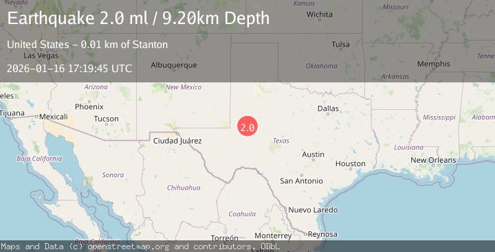
A 2.0 magnitude earthquake struck on WESTERN TEXAS, at Fri, 16 Jan 2026 17:19:45 GMT. Depth: 9.2km. Reviewed by TX seismologists, this minor quake occurred at a magnitude type of ml.
Magnitude
2.0
ml
Source
TX
Intensity
-
Agency Reports
1 Sources| Source | Magnitude | Depth | Time |
|---|---|---|---|
| TXPrimary | 2.0 | 9 km | 1 month ago |
Earthquake Details
AutomaticEvent IDemsc_TX_20260116_0000302
Tsunami PotentialNo
Magnitude Typeml
Nearest Places
- 2.8 km
- 4.2 km
- 4.5 km
- 5.3 km
- 5.7 km
Comments
Join the discussion about this event.
Latest Earthquakes
2.5Mag
Borneo
Time4 hours ago
Depth3.99 km
SourceBMKG
1.0Mag
4 km W of Cobb, CA
Time4 hours ago
Depth2.15 km
SourceUSGS (Automatic)
1.8Mag
15 km SE of Boonville, CA
Time4 hours ago
Depth4.77 km
SourceUSGS (Automatic)
2.7Mag
Java, Indonesia
Time4 hours ago
Depth10.00 km
SourceBMKG
3.0Mag
Flores Region, Indonesia
Time4 hours ago
Depth216.42 km
SourceBMKG
Nearby Earthquakes
1.8Mag
13 km WSW of Stanton, Texas
Time0 months ago
Depth4.08 km
SourceUSGS (Automatic)
1.7Mag
13 km W of Stanton, Texas
Time0 months ago
Depth4.53 km
SourceUSGS (Automatic)
1.1Mag
14 km W of Stanton, Texas
Time2 days ago
Depth1.46 km
SourceUSGS (Automatic)
1.2Mag
13 km WSW of Stanton, Texas
Time3 weeks ago
Depth4.38 km
SourceUSGS (Automatic)
1.2Mag
13 km WSW of Stanton, Texas
Time1 month ago
Depth3.46 km
SourceUSGS (Automatic)