Earthquake WESTERN TEXAS
Wed, 21 Jan 2026 22:52:32 GMT
Time3 weeks ago
Location
30.9380, -103.6030
Depth
8.8 KM
Event Summary
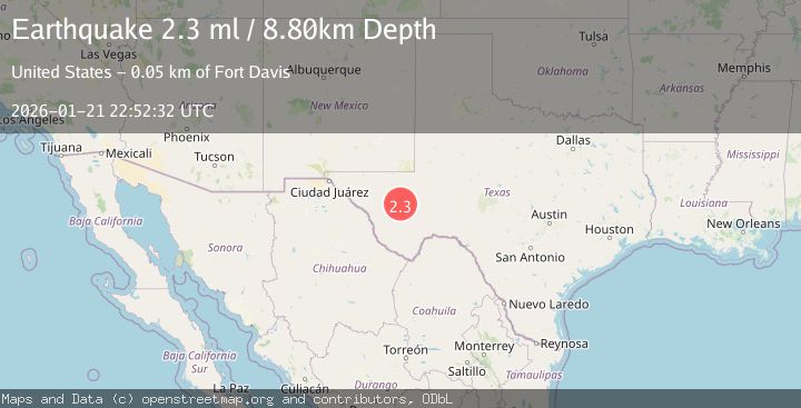
A 2.3 magnitude earthquake struck on WESTERN TEXAS, at Wed, 21 Jan 2026 22:52:32 GMT. Depth: 8.8km. Reviewed by TX seismologists, this minor quake occurred at a magnitude type of ml.
Magnitude
2.3
ml
Source
TX
Intensity
-
Agency Reports
1 Sources| Source | Magnitude | Depth | Time |
|---|---|---|---|
| TXPrimary | 2.3 | 9 km | 3 weeks ago |
Earthquake Details
AutomaticEvent IDemsc_TX_20260121_0000448
Tsunami PotentialNo
Magnitude Typeml
Nearest Places
- Elkins Draw2.9 km
- Gobble Hole3.0 km
- Carrizo Draw3.3 km
- North Elkins Draw3.8 km
- Cox Draw4.2 km
Comments
Join the discussion about this event.
Latest Earthquakes
1.2Mag
Southern Alaska
Time7 minutes ago
Depth37.11 km
SourceVYT (Automatic)
3.0Mag
Seram, Indonesia
Time7 minutes ago
Depth12.36 km
SourceBMKG
1.1Mag
Washington
Time12 minutes ago
Depth9.64 km
SourceVYT (Automatic)
1.3Mag
WESTERN TURKEY
Time12 minutes ago
Depth8.60 km
SourceAFAD (Automatic)
1.9Mag
32 km NW of Toyah, Texas
Time14 minutes ago
Depth4.09 km
SourceUSGS (Automatic)
Nearby Earthquakes
1.8Mag
14 km E of Balmorhea, Texas
Time3 days ago
Depth0.00 km
SourceUSGS (Automatic)
3.0Mag
WESTERN TEXAS
Time6 years ago
Depth5.00 km
SourceNEIC (Automatic)
2.2Mag
WESTERN TEXAS
Time1 week ago
Depth8.30 km
SourceTX (Automatic)
1.6Mag
27 km ESE of Balmorhea, Texas
Time2 hours ago
Depth3.56 km
SourceUSGS (Automatic)
1.5Mag
31 km ENE of Balmorhea, Texas
Time1 week ago
Depth5.06 km
SourceUSGS (Automatic)