Earthquake PANAMA-COSTA RICA BORDER REGION
Mon, 26 Jan 2026 03:44:49 GMT
Time23 hours ago
Location
8.3080, -82.8590
Depth
13.0 KM
Event Summary
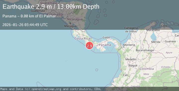
A 2.9 magnitude earthquake struck on PANAMA-COSTA RICA BORDER REGION, at Mon, 26 Jan 2026 03:44:49 GMT. Depth: 13km. Reviewed by UNA seismologists, this minor quake occurred at a magnitude type of m.
Magnitude
2.9
m
Source
UNA
Intensity
-
Agency Reports
1 Sources| Source | Magnitude | Depth | Time |
|---|---|---|---|
| UNAPrimary | 2.9 | 13 km | 23 hours ago |
Earthquake Details
AutomaticEvent IDemsc_UNA_20260126_0000073
Tsunami PotentialNo
Magnitude Typem
Nearest Places
- Quebrada Agua Buena0.5 km
- El Palmar0.9 km
- Quebrada Agua Buena1.1 km
- Barriada Flor de Lima1.5 km
- Agua Buena1.5 km
Comments
Join the discussion about this event.
Latest Earthquakes
0.8Mag
7 km NW of The Geysers, CA
Time23 hours ago
Depth1.08 km
SourceUSGS (Automatic)
2.6Mag
Java, Indonesia
Time23 hours ago
Depth31.46 km
SourceBMKG (Automatic)
5.4Mag
TONGA
Time23 hours ago
Depth32.00 km
SourceEMSC (Automatic)
2.9Mag
Minahassa Peninsula, Sulawesi
Time23 hours ago
Depth235.33 km
SourceBMKG (Automatic)
2.1Mag
WESTERN TEXAS
Time23 hours ago
Depth3.30 km
SourceTX (Automatic)
Nearby Earthquakes
2.5Mag
COSTA RICA
Time3 days ago
Depth25.00 km
SourceUNA (Automatic)
2.8Mag
SOUTH OF PANAMA
Time4 days ago
Depth1.00 km
SourceUNA (Automatic)
3.0Mag
OFF COAST OF COSTA RICA
Time4 days ago
Depth10.00 km
SourceUNA (Automatic)
2.6Mag
OFF COAST OF COSTA RICA
Time4 days ago
Depth14.00 km
SourceUNA (Automatic)
3.9Mag
PANAMA-COSTA RICA BORDER REGION
Time1 day ago
Depth10.00 km
SourceIGC (Automatic)