Earthquake WESTERN AUSTRALIA
Thu, 05 Mar 2026 00:47:44 GMT
Time18 hours ago
Location
-33.8341, 117.9344
Depth
2.2 KM
Event Summary
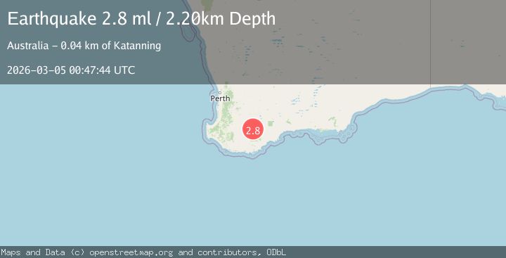
A 2.8 magnitude earthquake struck on WESTERN AUSTRALIA, at Thu, 05 Mar 2026 00:47:44 GMT. Depth: 2.2km. Reviewed by AUST seismologists, this minor quake occurred at a magnitude type of ml.
Magnitude
2.8
ml
Source
AUST
Intensity
-
Agency Reports
1 Sources| Source | Magnitude | Depth | Time |
|---|---|---|---|
| AUSTPrimary | 2.8 | 2 km | 18 hours ago |
Earthquake Details
AutomaticEvent IDemsc_aust_20260305_0000010
Tsunami PotentialNo
Magnitude Typeml
Nearest Places
- 0.5 km
- 1.7 km
- 1.9 km
- 2.9 km
- 4.1 km
Comments
Join the discussion about this event.
Latest Earthquakes
2.3Mag
Central Alaska
Time17 hours ago
Depth0.00 km
SourceVYT (Automatic)
1.5Mag
SLOVENIA
Time17 hours ago
Depth11.30 km
SourceARSO (Automatic)
1.6Mag
Central Alaska
Time17 hours ago
Depth0.00 km
SourceVYT (Automatic)
1.6Mag
5 km SSW of Redlands, CA
Time17 hours ago
Depth16.23 km
SourceUSGS (Automatic)
3.3Mag
NORTH OF NEW ZEALAND
Time17 hours ago
Depth374.30 km
SourceGNS (Automatic)
Nearby Earthquakes
2.2Mag
WESTERN AUSTRALIA
Time5 days ago
Depth5.00 km
SourceAUST (Automatic)
2.2Mag
WESTERN AUSTRALIA
Time1 week ago
Depth5.00 km
SourceAUST (Automatic)
2.0Mag
WESTERN AUSTRALIA
Time1 week ago
Depth5.00 km
SourceAUST (Automatic)
2.2Mag
WESTERN AUSTRALIA
Time1 week ago
Depth5.00 km
SourceAUST (Automatic)
2.1Mag
WESTERN AUSTRALIA
Time1 day ago
Depth5.00 km
SourceAUST (Automatic)