Earthquake MYANMAR-INDIA BORDER REGION
Sun, 05 Apr 2026 23:24:22 GMT
Time3 days ago
Location
24.4110, 94.5630
Depth
73.0 KM
Event Summary
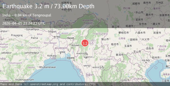
A 3.2 magnitude earthquake struck on MYANMAR-INDIA BORDER REGION, at Sun, 05 Apr 2026 23:24:22 GMT. Depth: 73km. Reviewed by NDI seismologists, this minor quake occurred at a magnitude type of m.
Magnitude
3.2
m
Source
NDI
Intensity
-
Agency Reports
1 Sources| Source | Magnitude | Depth | Time |
|---|---|---|---|
| NDIPrimary | 3.2 | 73 km | 3 days ago |
Earthquake Details
AutomaticEvent IDemsc_ndi_20260405_0000554
QualityS
Tsunami PotentialNo
Magnitude Typem
Last Update3 days ago
Felt Reports0
Did you feel this earthquake? Report it to help others.
No reports yet
Be the first to report this earthquake!
Latest Earthquakes
Loading...
Nearby Earthquakes
3.0Mag
MANIPUR, INDIA REGION
Time2 days ago
Depth10.00 km
SourceNDI (Automatic)
4.7Mag
MANIPUR, INDIA REGION
Time2 days ago
Depth37.00 km
SourceNDI (Automatic)
3.5Mag
MYANMAR-INDIA BORDER REGION
Time4 days ago
Depth55.00 km
SourceNDI (Automatic)
4.3Mag
MYANMAR
Time1 week ago
Depth110.00 km
SourceNDI (Automatic)
3.1Mag
MYANMAR
Time1 week ago
Depth17.00 km
SourceNDI (Automatic)