Earthquake VIRGIN ISLANDS REGION
Mon, 13 Apr 2026 18:42:13 GMT
Time3 days ago
Location
19.1252, -64.8789
Depth
35.0 KM
Event Summary
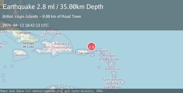
A 2.8 magnitude earthquake struck on VIRGIN ISLANDS REGION, at Mon, 13 Apr 2026 18:42:13 GMT. Depth: 35km. Reviewed by NEIC seismologists, this minor quake occurred at a magnitude type of ml.
Magnitude
2.8
ml
Source
NEIC
Intensity
-
Agency Reports
3 Sources| Source | Magnitude | Depth | Time |
|---|---|---|---|
| NEICPrimary | 2.8 | 35 km | 3 days ago |
| USGS | 3.3 | 17 km | 3 days ago |
| PR | 3.3 | 17 km | 3 days ago |
Earthquake Details
AutomaticEvent IDemsc_neic_20260413_0000301
QualityS
Tsunami PotentialNo
Magnitude Typeml
Last Update3 days ago
Used Stations12
Felt Reports0
Did you feel this earthquake? Report it to help others.
No reports yet
Be the first to report this earthquake!
Latest Earthquakes
Loading...
Nearby Earthquakes
3.4Mag
VIRGIN ISLANDS REGION
Time1 day ago
Depth11.10 km
SourcePR (Automatic)
3.6Mag
VIRGIN ISLANDS REGION
Time1 day ago
Depth35.00 km
SourceNEIC (Automatic)
3.6Mag
VIRGIN ISLANDS REGION
Time1 day ago
Depth23.00 km
SourcePR (Automatic)
3.2Mag
87 km N of Charlotte Amalie, U.S. Virgin Islands
Time3 days ago
Depth21.55 km
SourceUSGS
3.1Mag
VIRGIN ISLANDS REGION
Time3 days ago
Depth32.00 km
SourcePR (Automatic)