Earthquake 87 km N of Charlotte Amalie, U.S. Virgin Islands
Mon, 13 Apr 2026 19:32:33 GMT
Time3 days ago
Location
19.1343, -64.9127
Depth
21.6 KM
Event Summary
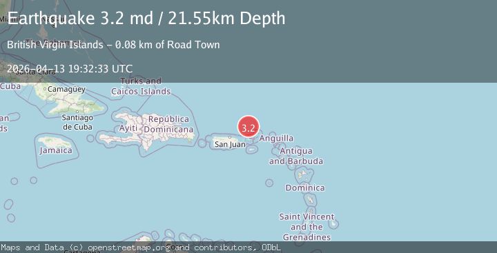
A 3.2 magnitude earthquake struck on 87 km N of Charlotte Amalie, U.S. Virgin Islands, at Mon, 13 Apr 2026 19:32:33 GMT. Depth: 21.55km. Reviewed by USGS seismologists, this minor quake occurred at a magnitude type of md.
Magnitude
3.2
md
Source
USGS
Intensity
-
Agency Reports
2 Sources| Source | Magnitude | Depth | Time |
|---|---|---|---|
| USGSPrimary | 3.2 | 22 km | 3 days ago |
| PR | 3.2 | 22 km | 3 days ago |
Earthquake Details
ConfirmedEvent IDusgs_pr71513608
QualityS
Tsunami PotentialNo
Magnitude Typemd
Last Update3 days ago
Used Stations17
Felt Reports0
Did you feel this earthquake? Report it to help others.
No reports yet
Be the first to report this earthquake!
Latest Earthquakes
Loading...
Nearby Earthquakes
3.3Mag
PUERTO RICO REGION
Time6 hours ago
Depth89.60 km
SourcePR (Automatic)
3.4Mag
VIRGIN ISLANDS REGION
Time1 day ago
Depth11.10 km
SourcePR (Automatic)
3.6Mag
VIRGIN ISLANDS REGION
Time1 day ago
Depth35.00 km
SourceNEIC (Automatic)
3.6Mag
VIRGIN ISLANDS REGION
Time1 day ago
Depth23.00 km
SourcePR (Automatic)
2.8Mag
VIRGIN ISLANDS REGION
Time3 days ago
Depth35.00 km
SourceNEIC (Automatic)