Earthquake 44 km WNW of Tatitlek, Alaska
Sat, 26 Oct 2024 21:43:06 GMT
Time
1 year ago
Location
60.9862, -147.4536
Depth
4.7 KM
Event Summary
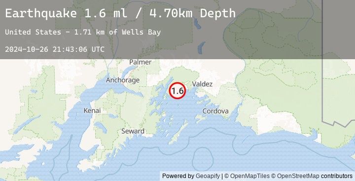
A 1.6 magnitude earthquake struck on 44 km WNW of Tatitlek, Alaska, at Sat, 26 Oct 2024 21:43:06 GMT. Depth: 4.7km. Reviewed by USGS seismologists, this minor quake occurred at a magnitude type of ml.
Magnitude
1.6
ml
Source
USGS
Intensity
-
Earthquake Details
AutomaticEvent IDusgs_ak024dshzg59
Tsunami PotentialNo
Magnitude Typeml
Nearest Places
- Wells Bay1.7 km
- Block Island3.7 km
- Cedar Bay3.9 km
- Unakwik Inlet6.5 km
- Granite Bay7.5 km
Comments
Join the discussion about this event.
Latest Earthquakes
2.8Mag
Java, Indonesia
Time
26 minutes ago
Depth11.39 km
SourceBMKG (Automatic)
2.9Mag
Java, Indonesia
Time
28 minutes ago
Depth18.75 km
SourceBMKG (Automatic)
2.2Mag
WESTERN TURKEY
Time
34 minutes ago
Depth7.00 km
SourceEMSC (Automatic)
3.3Mag
LOMBOK REGION, INDONESIA
Time
41 minutes ago
Depth26.00 km
SourceEMSC (Automatic)
3.4Mag
Sumbawa Region, Indonesia
Time
41 minutes ago
Depth10.00 km
SourceBMKG (Automatic)
Nearby Earthquakes
No significant earthquakes nearby recently.