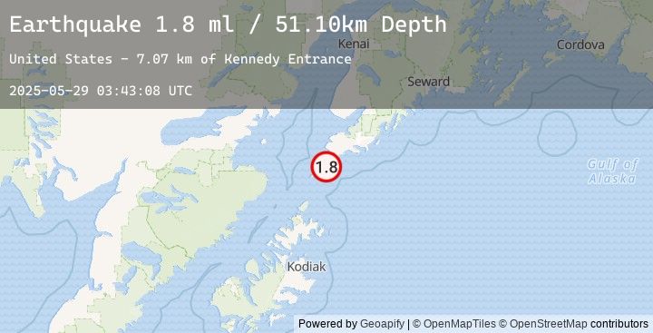
Earthquake 33 km S of Port Graham, Alaska
Thu, 29 May 2025 03:43:08 GMT
Time
6 months ago
Location
59.0552, -151.9167
Depth
51.1 KM
Event Summary
A 1.8 magnitude earthquake struck on 33 km S of Port Graham, Alaska, at Thu, 29 May 2025 03:43:08 GMT. Depth: 51.1km. Reviewed by USGS seismologists, this minor quake occurred at a magnitude type of ml.
Magnitude
1.8
ml
Source
USGS
Intensity
-
Earthquake Details
AutomaticEvent IDusgs_ak0256uh48sy
Tsunami PotentialNo
Magnitude Typeml
Nearest Places
- Kennedy Entrance7.1 km
- Dora Reef7.6 km
- Nagahut Rocks9.8 km
- Cape Elizabeth11.3 km
- Elizabeth Island12.4 km
Comments
Join the discussion about this event.
Latest Earthquakes
2.2Mag
West Papua Region, Indonesia
Time
24 minutes ago
Depth10.00 km
SourceBMKG (Automatic)
3.7Mag
NEAR COAST OF ECUADOR
Time
29 minutes ago
Depth18.00 km
SourceEMSC (Automatic)
3.6Mag
NEAR COAST OF ECUADOR
Time
37 minutes ago
Depth22.00 km
SourceEMSC (Automatic)
2.4Mag
West Papua Region, Indonesia
Time
42 minutes ago
Depth10.00 km
SourceBMKG (Automatic)
2.4Mag
SOUTHERN CALIFORNIA
Time
46 minutes ago
Depth6.90 km
SourceEMSC (Automatic)
Nearby Earthquakes
No significant earthquakes nearby recently.