Earthquake 84 km NNW of Karluk, Alaska
Fri, 26 Dec 2025 15:41:47 GMT
Time1 hour ago
Location
58.2790, -154.9740
Depth
5.0 KM
Event Summary
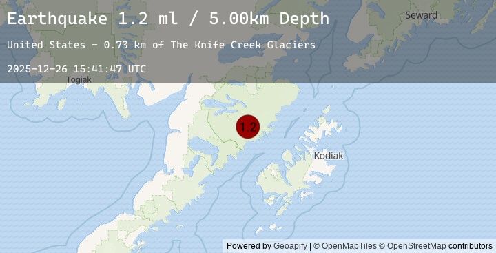
A 1.2 magnitude earthquake struck on 84 km NNW of Karluk, Alaska, at Fri, 26 Dec 2025 15:41:47 GMT. Depth: 5km. Reviewed by USGS seismologists, this minor quake occurred at a magnitude type of ml.
Magnitude
1.2
ml
Source
USGS
Intensity
-
Earthquake Details
AutomaticEvent IDusgs_ak2025zkexnp
Tsunami PotentialNo
Magnitude Typeml
Nearest Places
- Mount Katmai1.3 km
- Crater Lake1.8 km
- The Knife Creek Glaciers2.1 km
- The Knife Creek Glacier4.0 km
- Noisy Glacier6.6 km
Comments
Join the discussion about this event.
Latest Earthquakes
2.0Mag
West Papua Region, Indonesia
Time4 minutes ago
Depth10.00 km
SourceBMKG (Automatic)
3.5Mag
Northern Molucca Sea
Time11 minutes ago
Depth25.58 km
SourceBMKG (Automatic)
3.5Mag
MOLUCCA SEA
Time11 minutes ago
Depth17.00 km
SourceEMSC (Automatic)
2.0Mag
Flores Region, Indonesia
Time13 minutes ago
Depth60.11 km
SourceBMKG (Automatic)
3.2Mag
OFF E. COAST OF N. ISLAND, N.Z.
Time17 minutes ago
Depth12.00 km
SourceEMSC (Automatic)
Nearby Earthquakes
0.9Mag
83 km NNW of Karluk, Alaska
Time1 hour ago
Depth5.00 km
SourceUSGS (Automatic)
0.7Mag
85 km NNW of Karluk, Alaska
Time4 hours ago
Depth5.00 km
SourceUSGS (Automatic)
1.5Mag
84 km NNW of Karluk, Alaska
Time6 hours ago
Depth5.00 km
SourceUSGS (Automatic)
1.3Mag
90 km N of Karluk, Alaska
Time6 hours ago
Depth38.60 km
SourceUSGS (Automatic)
1.6Mag
82 km N of Karluk, Alaska
Time22 hours ago
Depth8.80 km
SourceUSGS (Automatic)