Earthquake 38 km WNW of Clam Gulch, Alaska
Sat, 27 Dec 2025 00:37:44 GMT
Time1 hour ago
Location
60.3650, -152.0300
Depth
83.2 KM
Event Summary
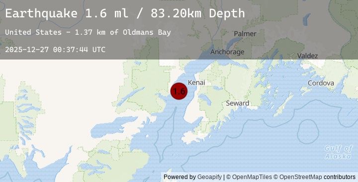
A 1.6 magnitude earthquake struck on 38 km WNW of Clam Gulch, Alaska, at Sat, 27 Dec 2025 00:37:44 GMT. Depth: 83.2km. Reviewed by USGS seismologists, this minor quake occurred at a magnitude type of ml.
Magnitude
1.6
ml
Source
USGS
Intensity
-
Earthquake Details
AutomaticEvent IDusgs_ak2025zkwrjf
Tsunami PotentialNo
Magnitude Typeml
Nearest Places
- Oldmans Bay1.4 km
- Kalgin Island State Critical Habitat Area2.8 km
- Swamp Creek4.4 km
- Packers Creek11.0 km
- Harriet Point11.7 km
Comments
Join the discussion about this event.
Latest Earthquakes
1.1Mag
82 km NNW of Karluk, Alaska
Time52 minutes ago
Depth5.00 km
SourceUSGS (Automatic)
2.9Mag
Southern Sumatra, Indonesia
Time56 minutes ago
Depth24.66 km
SourceBMKG (Automatic)
2.3Mag
Bali Region, Indonesia
Time57 minutes ago
Depth23.06 km
SourceBMKG (Automatic)
2.1Mag
Timor Region
Time1 hour ago
Depth15.32 km
SourceBMKG (Automatic)
1.0Mag
3 km WNW of Orinda, CA
Time1 hour ago
Depth8.81 km
SourceUSGS (Automatic)
Nearby Earthquakes
1.7Mag
52 km W of Tyonek, Alaska
Time4 hours ago
Depth104.20 km
SourceUSGS (Automatic)
1.3Mag
56 km WNW of Happy Valley, Alaska
Time9 hours ago
Depth105.80 km
SourceUSGS (Automatic)
1.9Mag
16 km WNW of Anchor Point, Alaska
Time12 hours ago
Depth24.30 km
SourceUSGS (Automatic)
2.2Mag
62 km W of Tyonek, Alaska
Time13 hours ago
Depth113.10 km
SourceUSGS (Automatic)
1.8Mag
63 km WNW of Nikiski, Alaska
Time14 hours ago
Depth104.70 km
SourceUSGS (Automatic)