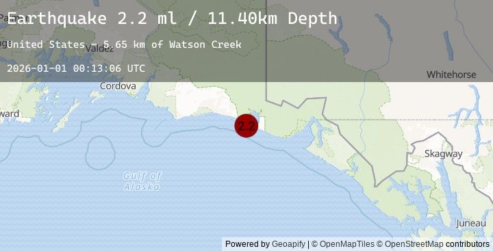
Earthquake 114 km WNW of Yakutat, Alaska
Thu, 01 Jan 2026 00:13:06 GMT
Time2 hours ago
Location
59.9070, -141.6330
Depth
11.4 KM
Event Summary
A 2.2 magnitude earthquake struck on 114 km WNW of Yakutat, Alaska, at Thu, 01 Jan 2026 00:13:06 GMT. Depth: 11.4km. Reviewed by USGS seismologists, this minor quake occurred at a magnitude type of ml.
Magnitude
2.2
ml
Source
USGS
Intensity
-
Earthquake Details
AutomaticEvent IDusgs_ak2026aaalhj
Tsunami PotentialNo
Magnitude Typeml
Nearest Places
- Watson Creek5.7 km
- Guyot Bay6.3 km
- Claybluff Point6.8 km
- Icy Bay Airport7.0 km
- Priest River7.0 km
Comments
Join the discussion about this event.
Latest Earthquakes
1.1Mag
NORTHERN ITALY
Time2 hours ago
Depth6.90 km
SourceEMSC (Automatic)
1.5Mag
12 km ENE of Fox, Alaska
Time2 hours ago
Depth5.00 km
SourceUSGS (Automatic)
0.7Mag
9 km N of Banning, CA
Time2 hours ago
Depth13.66 km
SourceUSGS (Automatic)
2.1Mag
Ceram Sea
Time2 hours ago
Depth10.95 km
SourceBMKG (Automatic)
2.6Mag
WESTERN TURKEY
Time2 hours ago
Depth13.70 km
SourceEMSC (Automatic)