Earthquake 50 km W of Tyonek, Alaska
Sat, 03 Jan 2026 09:03:35 GMT
Time2 days ago
Location
61.1330, -152.0690
Depth
97.4 KM
Event Summary
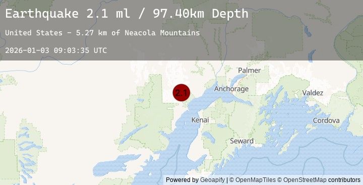
A 2.1 magnitude earthquake struck on 50 km W of Tyonek, Alaska, at Sat, 03 Jan 2026 09:03:35 GMT. Depth: 97.4km. Reviewed by USGS seismologists, this minor quake occurred at a magnitude type of ml.
Magnitude
2.1
ml
Source
USGS
Intensity
-
Agency Reports
1 Sources| Source | Magnitude | Depth | Time |
|---|---|---|---|
| USGSPrimary | 2.1 | 97 km | 2 days ago |
Earthquake Details
AutomaticEvent IDusgs_ak2026aejjtk
Tsunami PotentialNo
Magnitude Typeml
Nearest Places
- Neacola Mountains5.3 km
- K’idazq’eni Glacier10.9 km
- Straight Creek12.5 km
- Aleutian Range14.7 km
- Ch'atanalch'elt Li'a15.8 km
Comments
Join the discussion about this event.
Latest Earthquakes
2.9Mag
SAN JUAN, ARGENTINA
Time2 days ago
Depth93.00 km
SourceNSNA (Automatic)
2.1Mag
Timor Region
Time2 days ago
Depth73.02 km
SourceBMKG (Automatic)
2.5Mag
CYPRUS REGION
Time2 days ago
Depth14.60 km
SourceKOERI (Automatic)
2.5Mag
GREECE
Time2 days ago
Depth13.40 km
SourceNOA (Automatic)
1.9Mag
14 km WSW of Big Lake, Alaska
Time2 days ago
Depth29.20 km
SourceUSGS (Automatic)
Nearby Earthquakes
1.7Mag
52 km W of Tyonek, Alaska
Time2 days ago
Depth99.70 km
SourceUSGS (Automatic)
2.9Mag
7 km W of Beluga, Alaska
Time2 days ago
Depth68.10 km
SourceUSGS (Automatic)
2.9Mag
57 km WNW of Ninilchik, Alaska
Time2 days ago
Depth119.30 km
SourceUSGS (Automatic)
2.1Mag
34 km WNW of Nikiski, Alaska
Time2 days ago
Depth82.10 km
SourceUSGS (Automatic)