Earthquake 76 km WNW of Tyonek, Alaska
Sun, 04 Jan 2026 05:30:15 GMT
Time4 days ago
Location
61.2910, -152.4780
Depth
5.0 KM
Event Summary
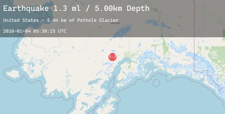
A 1.3 magnitude earthquake struck on 76 km WNW of Tyonek, Alaska, at Sun, 04 Jan 2026 05:30:15 GMT. Depth: 5km. Reviewed by USGS seismologists, this minor quake occurred at a magnitude type of ml.
Magnitude
1.3
ml
Source
USGS
Intensity
-
Agency Reports
1 Sources| Source | Magnitude | Depth | Time |
|---|---|---|---|
| USGSPrimary | 1.3 | 5 km | 4 days ago |
Earthquake Details
AutomaticEvent IDusgs_ak2026afydam
Tsunami PotentialNo
Magnitude Typeml
Nearest Places
- Pothole Glacier5.4 km
- Nagishlamina River6.3 km
- Barrier Glacier7.8 km
- Harpoon Glacier10.1 km
- Ch'akajabena Lake10.8 km
Comments
Join the discussion about this event.
Latest Earthquakes
2.9Mag
Halmahera, Indonesia
Time2 days ago
Depth4.55 km
SourceBMKG (Automatic)
2.2Mag
ISLAND OF HAWAII, HAWAII
Time2 days ago
Depth30.70 km
SourceHV (Automatic)
2.1Mag
Sulawesi, Indonesia
Time2 days ago
Depth16.31 km
SourceBMKG (Automatic)
0.7Mag
13 km SW of Searles Valley, CA
Time2 days ago
Depth5.53 km
SourceUSGS (Automatic)
3.0Mag
Sumbawa Region, Indonesia
Time2 days ago
Depth8.46 km
SourceBMKG (Automatic)