Earthquake 12 km SE of Clam Gulch, Alaska
Wed, 07 Jan 2026 20:00:23 GMT
Time2 days ago
Location
60.1680, -151.2080
Depth
41.0 KM
Event Summary
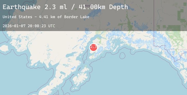
A 2.3 magnitude earthquake struck on 12 km SE of Clam Gulch, Alaska, at Wed, 07 Jan 2026 20:00:23 GMT. Depth: 41km. Reviewed by USGS seismologists, this minor quake occurred at a magnitude type of ml.
Magnitude
2.3
ml
Source
USGS
Intensity
-
Agency Reports
1 Sources| Source | Magnitude | Depth | Time |
|---|---|---|---|
| USGSPrimary | 2.3 | 41 km | 2 days ago |
Earthquake Details
AutomaticEvent IDusgs_ak2026amodrg
Tsunami PotentialNo
Magnitude Typeml
Nearest Places
- Border Lake2.6 km
- North Kolomin Lake9.4 km
- Berg Lake9.8 km
- Centennial Lake9.9 km
- Nikolai Lake10.1 km
Comments
Join the discussion about this event.
Latest Earthquakes
1.7Mag
56 km S of Whites City, New Mexico
Time2 days ago
Depth7.10 km
SourceUSGS (Automatic)
3.2Mag
Borneo
Time2 days ago
Depth21.33 km
SourceBMKG (Automatic)
2.2Mag
Java, Indonesia
Time2 days ago
Depth20.20 km
SourceBMKG (Automatic)
1.0Mag
22 km N of Ridgecrest, CA
Time2 days ago
Depth8.55 km
SourceUSGS (Automatic)
2.1Mag
Timor Region
Time2 days ago
Depth69.87 km
SourceBMKG (Automatic)