Earthquake 37 km N of Petersville, Alaska
Thu, 08 Jan 2026 05:17:56 GMT
Time2 days ago
Location
62.8280, -150.7080
Depth
81.9 KM
Event Summary
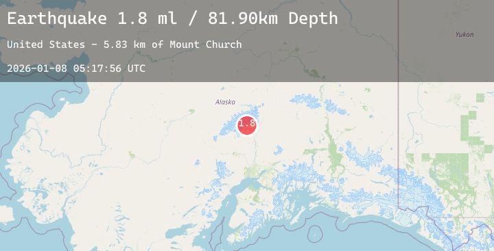
A 1.8 magnitude earthquake struck on 37 km N of Petersville, Alaska, at Thu, 08 Jan 2026 05:17:56 GMT. Depth: 81.9km. Reviewed by USGS seismologists, this minor quake occurred at a magnitude type of ml.
Magnitude
1.8
ml
Source
USGS
Intensity
-
Agency Reports
1 Sources| Source | Magnitude | Depth | Time |
|---|---|---|---|
| USGSPrimary | 1.8 | 82 km | 2 days ago |
Earthquake Details
AutomaticEvent IDusgs_ak2026angqdp
Tsunami PotentialNo
Magnitude Typeml
Nearest Places
- Mount Church5.8 km
- Tokositna Glacier7.0 km
- The Great Gorge7.4 km
- Glacier Point8.9 km
- Ruth Glacier9.7 km
Comments
Join the discussion about this event.
Latest Earthquakes
1.8Mag
30 km WNW of Karluk, Alaska
Time2 days ago
Depth68.80 km
SourceUSGS (Automatic)
1.6Mag
60 km S of Whites City, New Mexico
Time2 days ago
Depth2.85 km
SourceUSGS (Automatic)
2.0Mag
ISLAND OF HAWAII, HAWAII
Time2 days ago
Depth36.00 km
SourceHV (Automatic)
2.5Mag
Timor Region
Time2 days ago
Depth59.51 km
SourceBMKG (Automatic)
1.9Mag
WESTERN TURKEY
Time2 days ago
Depth7.00 km
SourceAFAD (Automatic)
Nearby Earthquakes
1.9Mag
24 km E of Denali National Park, Alaska
Time2 days ago
Depth2.40 km
SourceUSGS (Automatic)
1.7Mag
34 km ENE of Chase, Alaska
Time2 days ago
Depth7.40 km
SourceUSGS (Automatic)
2.3Mag
54 km WSW of Cantwell, Alaska
Time2 days ago
Depth98.40 km
SourceUSGS (Automatic)
2.4Mag
9 km W of Trapper Creek, Alaska
Time2 days ago
Depth15.30 km
SourceUSGS (Automatic)
2.2Mag
63 km N of Petersville, Alaska
Time2 days ago
Depth110.50 km
SourceUSGS (Automatic)