Earthquake 33 km SW of Karluk, Alaska
Sat, 10 Jan 2026 15:48:34 GMT
Time1 day ago
Location
57.3360, -154.8010
Depth
22.1 KM
Event Summary
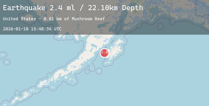
A 2.4 magnitude earthquake struck on 33 km SW of Karluk, Alaska, at Sat, 10 Jan 2026 15:48:34 GMT. Depth: 22.1km. Reviewed by USGS seismologists, this minor quake occurred at a magnitude type of ml.
Magnitude
2.4
ml
Source
USGS
Intensity
-
Agency Reports
1 Sources| Source | Magnitude | Depth | Time |
|---|---|---|---|
| USGSPrimary | 2.4 | 22 km | 1 day ago |
Earthquake Details
AutomaticEvent IDusgs_ak2026arszgn
Tsunami PotentialNo
Magnitude Typeml
Nearest Places
- Mushroom Reef0.8 km
- Tombstone Rocks2.2 km
- Middle Bay3.3 km
- Middle Cape3.7 km
- Outer Seal Rock4.4 km
Comments
Join the discussion about this event.
Latest Earthquakes
0.7Mag
8 km NW of The Geysers, CA
Time1 day ago
Depth1.32 km
SourceUSGS (Automatic)
2.1Mag
Sumbawa Region, Indonesia
Time1 day ago
Depth24.05 km
SourceBMKG (Automatic)
4.4Mag
KASHMIR-XIZANG BORDER REGION
Time1 day ago
Depth474.30 km
SourceNDI (Automatic)
3.1Mag
ANTOFAGASTA, CHILE
Time1 day ago
Depth135.00 km
SourceCSN (Automatic)
5.1Mag
NEAR EAST COAST OF KAMCHATKA
Time1 day ago
Depth47.00 km
SourceEMSC (Automatic)
Nearby Earthquakes
1.7Mag
61 km N of Karluk, Alaska
Time1 day ago
Depth9.30 km
SourceUSGS (Automatic)
1.6Mag
52 km NNW of Karluk, Alaska
Time1 day ago
Depth14.60 km
SourceUSGS (Automatic)
3.3Mag
KODIAK ISLAND REGION, ALASKA
Time2 days ago
Depth26.20 km
SourceAK (Automatic)
1.4Mag
85 km NW of Karluk, Alaska
Time2 days ago
Depth5.00 km
SourceUSGS (Automatic)