Earthquake 44 km S of Skwentna, Alaska
Sat, 10 Jan 2026 20:44:19 GMT
Time1 day ago
Location
61.5890, -151.4670
Depth
73.9 KM
Event Summary
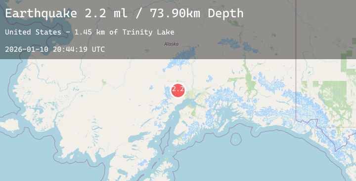
A 2.2 magnitude earthquake struck on 44 km S of Skwentna, Alaska, at Sat, 10 Jan 2026 20:44:19 GMT. Depth: 73.9km. Reviewed by USGS seismologists, this minor quake occurred at a magnitude type of ml.
Magnitude
2.2
ml
Source
USGS
Intensity
-
Agency Reports
2 Sources| Source | Magnitude | Depth | Time |
|---|---|---|---|
| USGSPrimary | 1.4 | 74 km | 1 day ago |
| USGSPrimary | 2.2 | 74 km | 1 day ago |
Earthquake Details
AutomaticEvent IDusgs_ak2026ascuet
Tsunami PotentialNo
Magnitude Typeml
Nearest Places
- Trinity Lake1.4 km
- Trinity Lakes2.8 km
- Movie Lake4.1 km
- Judd Lake5.2 km
- Mount Oliver5.5 km
Comments
Join the discussion about this event.
Latest Earthquakes
2.1Mag
Sulawesi, Indonesia
Time1 day ago
Depth5.00 km
SourceBMKG (Automatic)
2.9Mag
ARUNACHAL PRADESH, INDIA
Time1 day ago
Depth49.10 km
SourceNDI (Automatic)
3.3Mag
NORTH ISLAND OF NEW ZEALAND
Time1 day ago
Depth2.60 km
SourceGNS (Automatic)
1.4Mag
1 km SSE of Bell, CA
Time1 day ago
Depth12.76 km
SourceUSGS (Automatic)
2.5Mag
Halmahera, Indonesia
Time1 day ago
Depth9.50 km
SourceBMKG (Automatic)
Nearby Earthquakes
2.2Mag
6 km NNE of Susitna, Alaska
Time1 day ago
Depth32.00 km
SourceUSGS (Automatic)
2.2Mag
47 km NNW of Beluga, Alaska
Time2 days ago
Depth75.90 km
SourceUSGS (Automatic)
2.7Mag
10 km W of Susitna, Alaska
Time2 days ago
Depth61.10 km
SourceUSGS (Automatic)
2.3Mag
21 km WSW of Susitna North, Alaska
Time2 days ago
Depth46.50 km
SourceUSGS (Automatic)