Earthquake 64 km NNW of Yakutat, Alaska
Sun, 11 Jan 2026 17:43:39 GMT
Time13 hours ago
Location
60.1060, -140.0510
Depth
9.2 KM
Event Summary
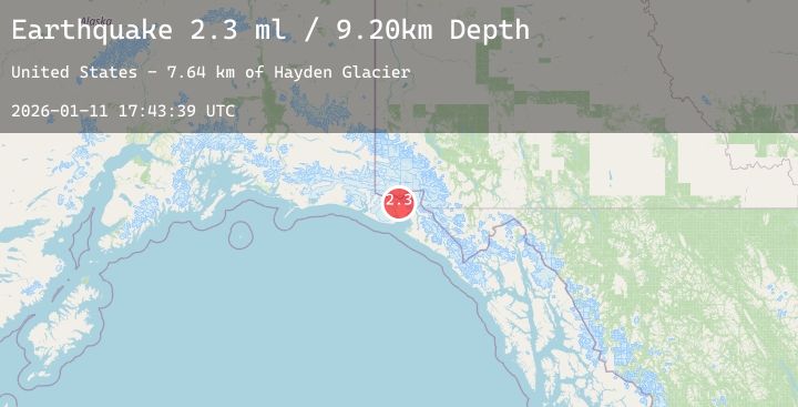
A 2.3 magnitude earthquake struck on 64 km NNW of Yakutat, Alaska, at Sun, 11 Jan 2026 17:43:39 GMT. Depth: 9.2km. Reviewed by USGS seismologists, this minor quake occurred at a magnitude type of ml.
Magnitude
2.3
ml
Source
USGS
Intensity
-
Agency Reports
1 Sources| Source | Magnitude | Depth | Time |
|---|---|---|---|
| USGSPrimary | 2.3 | 9 km | 13 hours ago |
Earthquake Details
AutomaticEvent IDusgs_ak2026atsnjw
Tsunami PotentialNo
Magnitude Typeml
Nearest Places
- Hayden Glacier7.6 km
- Blossom Glacier8.2 km
- Mount Cook9.2 km
- Mount Cook9.3 km
- Blossom Island11.9 km
Comments
Join the discussion about this event.
Latest Earthquakes
3.7Mag
Sulawesi, Indonesia
Time13 hours ago
Depth5.00 km
SourceBMKG (Automatic)
3.0Mag
South of Java, Indonesia
Time13 hours ago
Depth10.00 km
SourceBMKG (Automatic)
1.9Mag
21 km SSW of Susitna, Alaska
Time13 hours ago
Depth58.10 km
SourceUSGS (Automatic)
4.9Mag
Mindanao, Philippines
Time13 hours ago
Depth81.72 km
SourceBMKG (Automatic)
2.5Mag
18 km S of Loyalton, CA
Time13 hours ago
Depth0.15 km
SourceUSGS (Automatic)
Nearby Earthquakes
No significant earthquakes nearby recently.