Earthquake 24 km SSW of Ester, Alaska
Tue, 13 Jan 2026 22:37:50 GMT
Time1 day ago
Location
64.6600, -148.2670
Depth
5.0 KM
Event Summary
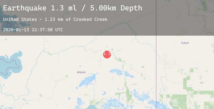
A 1.3 magnitude earthquake struck on 24 km SSW of Ester, Alaska, at Tue, 13 Jan 2026 22:37:50 GMT. Depth: 5km. Reviewed by USGS seismologists, this minor quake occurred at a magnitude type of ml.
Magnitude
1.3
ml
Source
USGS
Intensity
-
Agency Reports
2 Sources| Source | Magnitude | Depth | Time |
|---|---|---|---|
| USGSPrimary | 1.3 | 5 km | 1 day ago |
| USGSPrimary | 0.8 | 11 km | 1 day ago |
Earthquake Details
AutomaticEvent IDusgs_ak2026axtsra
Tsunami PotentialNo
Magnitude Typeml
Nearest Places
- Crooked Creek1.2 km
- Sevenmile Slough1.9 km
- Willow Creek3.2 km
- Hadley Island5.0 km
- Whiskey Island5.3 km
Comments
Join the discussion about this event.
Latest Earthquakes
1.1Mag
9 km WNW of The Geysers, CA
Time1 day ago
Depth2.13 km
SourceUSGS (Automatic)
1.7Mag
9 km WNW of The Geysers, CA
Time1 day ago
Depth2.27 km
SourceUSGS (Automatic)
2.2Mag
ISLAND OF HAWAII, HAWAII
Time1 day ago
Depth1.20 km
SourceHV (Automatic)
2.0Mag
Bali Sea
Time1 day ago
Depth31.75 km
SourceBMKG (Automatic)
2.3Mag
PUERTO RICO REGION
Time1 day ago
Depth43.10 km
SourcePR (Automatic)
Nearby Earthquakes
1.5Mag
16 km E of Livengood, Alaska
Time1 day ago
Depth4.40 km
SourceUSGS (Automatic)
1.2Mag
24 km ENE of Minto, Alaska
Time1 day ago
Depth12.40 km
SourceUSGS (Automatic)
0.9Mag
32 km SSE of Minto, Alaska
Time2 days ago
Depth2.70 km
SourceUSGS (Automatic)
1.2Mag
10 km E of Fox, Alaska
Time2 days ago
Depth5.00 km
SourceUSGS (Automatic)
0.9Mag
8 km SSE of South Van Horn, Alaska
Time2 days ago
Depth17.20 km
SourceUSGS (Automatic)