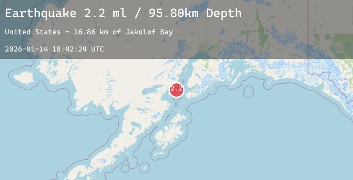
Earthquake 53 km WNW of Nanwalek, Alaska
Wed, 14 Jan 2026 18:42:24 GMT
Time7 hours ago
Location
59.5440, -152.7900
Depth
95.8 KM
Event Summary
A 2.2 magnitude earthquake struck on 53 km WNW of Nanwalek, Alaska, at Wed, 14 Jan 2026 18:42:24 GMT. Depth: 95.8km. Reviewed by USGS seismologists, this minor quake occurred at a magnitude type of ml.
Magnitude
2.2
ml
Source
USGS
Intensity
-
Agency Reports
1 Sources| Source | Magnitude | Depth | Time |
|---|---|---|---|
| USGSPrimary | 2.2 | 96 km | 7 hours ago |
Earthquake Details
AutomaticEvent IDusgs_ak2026azhqqq
Tsunami PotentialNo
Magnitude Typeml
Nearest Places
- Jakolof Bay16.8 km
- Chinitna Point22.2 km
- Bow Creek23.0 km
- Dry Bay24.4 km
- Brown Creek24.6 km
Comments
Join the discussion about this event.
Latest Earthquakes
3.1Mag
Northern Molucca Sea
Time7 hours ago
Depth10.00 km
SourceBMKG (Automatic)
3.6Mag
Minahassa Peninsula, Sulawesi
Time8 hours ago
Depth401.08 km
SourceBMKG (Automatic)
4.0Mag
South of Java, Indonesia
Time8 hours ago
Depth10.00 km
SourceBMKG (Automatic)
1.5Mag
23 km WNW of Valdez, Alaska
Time8 hours ago
Depth34.60 km
SourceUSGS (Automatic)
1.5Mag
16 km WSW of Johannesburg, CA
Time8 hours ago
Depth6.50 km
SourceUSGS