Earthquake 105 km NW of Yakutat, Alaska
Thu, 15 Jan 2026 00:42:44 GMT
Time1 hour ago
Location
60.3260, -140.7990
Depth
5.0 KM
Event Summary
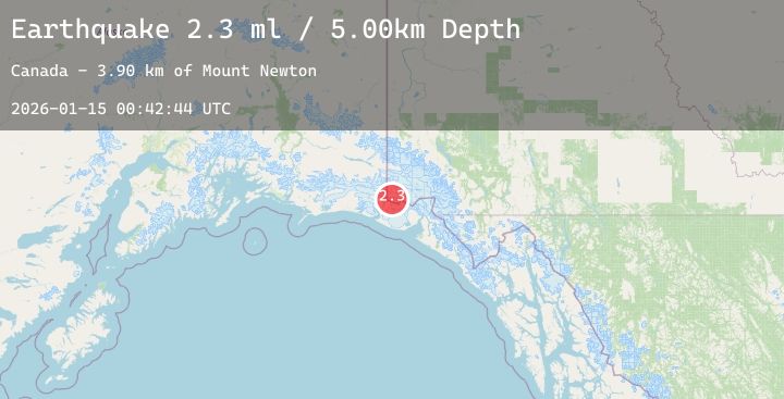
A 2.3 magnitude earthquake struck on 105 km NW of Yakutat, Alaska, at Thu, 15 Jan 2026 00:42:44 GMT. Depth: 5km. Reviewed by USGS seismologists, this minor quake occurred at a magnitude type of ml.
Magnitude
2.3
ml
Source
USGS
Intensity
-
Agency Reports
1 Sources| Source | Magnitude | Depth | Time |
|---|---|---|---|
| USGSPrimary | 2.3 | 5 km | 1 hour ago |
Earthquake Details
AutomaticEvent IDusgs_ak2026aztpdw
Tsunami PotentialNo
Magnitude Typeml
Nearest Places
- Mount Newton3.9 km
- Mount Jeannette4.1 km
- Russell Col5.9 km
- Newton Glacier6.5 km
- Boundary Peak 1857.4 km
Comments
Join the discussion about this event.
Latest Earthquakes
1.0Mag
46 km NW of Karluk, Alaska
Time2 hours ago
Depth78.40 km
SourceUSGS (Automatic)
3.3Mag
Seram, Indonesia
Time2 hours ago
Depth8.68 km
SourceBMKG (Automatic)
2.0Mag
Sumbawa Region, Indonesia
Time2 hours ago
Depth21.43 km
SourceBMKG (Automatic)
2.0Mag
CENTRAL TURKEY
Time2 hours ago
Depth7.00 km
SourceEMSC (Automatic)
2.9Mag
SAN JUAN, ARGENTINA
Time2 hours ago
Depth140.40 km
SourceCSN (Automatic)