Earthquake 87 km ESE of Ugashik, Alaska
Thu, 15 Jan 2026 05:40:00 GMT
Time2 hours ago
Location
57.3330, -155.9870
Depth
74.5 KM
Event Summary
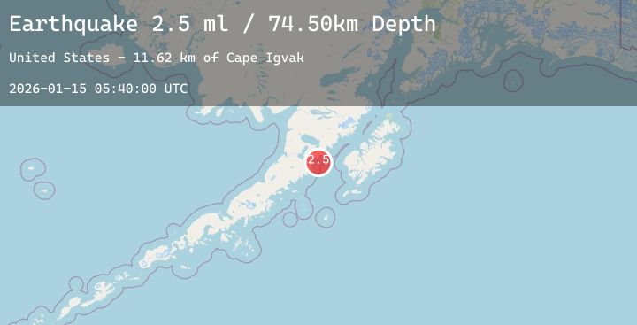
A 2.5 magnitude earthquake struck on 87 km ESE of Ugashik, Alaska, at Thu, 15 Jan 2026 05:40:00 GMT. Depth: 74.5km. Reviewed by USGS seismologists, this minor quake occurred at a magnitude type of ml.
Magnitude
2.5
ml
Source
USGS
Intensity
-
Agency Reports
1 Sources| Source | Magnitude | Depth | Time |
|---|---|---|---|
| USGSPrimary | 2.5 | 75 km | 2 hours ago |
Earthquake Details
AutomaticEvent IDusgs_ak2026badktg
Tsunami PotentialNo
Magnitude Typeml
Nearest Places
- Cape Igvak11.6 km
- Cape Igvak12.3 km
- East Channel Islands15.2 km
- Channel Rock16.1 km
- West Channel Island16.7 km
Comments
Join the discussion about this event.
Latest Earthquakes
1.8Mag
28 km NNE of Karluk, Alaska
Time2 hours ago
Depth32.80 km
SourceUSGS (Automatic)
0.9Mag
10 km WNW of The Geysers, CA
Time2 hours ago
Depth2.85 km
SourceUSGS (Automatic)
1.7Mag
6 km SW of Volcano, Hawaii
Time2 hours ago
Depth2.27 km
SourceUSGS (Automatic)
2.5Mag
CENTRAL TURKEY
Time2 hours ago
Depth11.50 km
SourceEMSC (Automatic)
2.7Mag
Java, Indonesia
Time2 hours ago
Depth70.36 km
SourceBMKG (Automatic)