Earthquake 57 km NNW of Petersville, Alaska
Fri, 16 Jan 2026 17:02:47 GMT
Time13 hours ago
Location
63.0000, -150.9990
Depth
121.9 KM
Event Summary
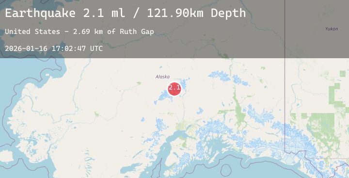
A 2.1 magnitude earthquake struck on 57 km NNW of Petersville, Alaska, at Fri, 16 Jan 2026 17:02:47 GMT. Depth: 121.9km. Reviewed by USGS seismologists, this minor quake occurred at a magnitude type of ml.
Magnitude
2.1
ml
Source
USGS
Intensity
-
Agency Reports
1 Sources| Source | Magnitude | Depth | Time |
|---|---|---|---|
| USGSPrimary | 2.1 | 122 km | 13 hours ago |
Earthquake Details
ConfirmedEvent IDusgs_ak2026bcvupq
Tsunami PotentialNo
Magnitude Typeml
Nearest Places
- Ruth Gap2.7 km
- East Fork Kahiltna Glacier4.1 km
- West Fork Ruth Glacier4.6 km
- Southeast Spur4.9 km
- Kahiltna Notch5.3 km
Comments
Join the discussion about this event.
Latest Earthquakes
2.8Mag
Sumba Region, Indonesia
Time12 hours ago
Depth10.00 km
SourceBMKG (Automatic)
2.7Mag
Sumbawa Region, Indonesia
Time12 hours ago
Depth25.76 km
SourceBMKG (Automatic)
3.5Mag
ANDREANOF ISLANDS, ALEUTIAN IS.
Time12 hours ago
Depth0.60 km
SourceAK (Automatic)
2.1Mag
WESTERN TEXAS
Time12 hours ago
Depth3.70 km
SourceTX (Automatic)
2.0Mag
50 km SSW of South Van Horn, Alaska
Time12 hours ago
Depth0.40 km
SourceUSGS (Automatic)
Nearby Earthquakes
1.6Mag
50 km WNW of Petersville, Alaska
Time19 hours ago
Depth0.30 km
SourceUSGS (Automatic)
3.3Mag
27 km ESE of Denali National Park, Alaska
Time21 hours ago
Depth1.80 km
SourceUSGS (Automatic)
1.6Mag
40 km SE of Denali National Park, Alaska
Time22 hours ago
Depth5.00 km
SourceUSGS (Automatic)
2.7Mag
38 km W of Petersville, Alaska
Time1 day ago
Depth95.40 km
SourceUSGS (Automatic)