Earthquake 34 km W of Nikiski, Alaska
Sat, 17 Jan 2026 06:02:51 GMT
Time3 hours ago
Location
60.7210, -151.9140
Depth
84.8 KM
Event Summary
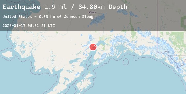
A 1.9 magnitude earthquake struck on 34 km W of Nikiski, Alaska, at Sat, 17 Jan 2026 06:02:51 GMT. Depth: 84.8km. Reviewed by USGS seismologists, this minor quake occurred at a magnitude type of ml.
Magnitude
1.9
ml
Source
USGS
Intensity
-
Agency Reports
1 Sources| Source | Magnitude | Depth | Time |
|---|---|---|---|
| USGSPrimary | 1.9 | 85 km | 3 hours ago |
Earthquake Details
AutomaticEvent IDusgs_ak2026bdvqtx
Tsunami PotentialNo
Magnitude Typeml
Nearest Places
- Johnson Slough0.3 km
- Seal Slough2.4 km
- Bachatna Creek3.9 km
- Kustatan River6.6 km
- West Fork Kustatan River7.0 km
Comments
Join the discussion about this event.
Latest Earthquakes
2.8Mag
CENTRAL CALIFORNIA
Time2 minutes ago
Depth9.60 km
SourceNC (Automatic)
2.5Mag
Seram, Indonesia
Time8 minutes ago
Depth15.13 km
SourceBMKG (Automatic)
3.5Mag
NEAR EAST COAST OF HONSHU, JAPAN
Time14 minutes ago
Depth50.00 km
SourceJMA (Automatic)
1.8Mag
WESTERN TURKEY
Time19 minutes ago
Depth7.40 km
SourceEMSC (Automatic)
1.9Mag
22 km S of Funny River, Alaska
Time21 minutes ago
Depth52.70 km
SourceUSGS (Automatic)