Earthquake 91 km NNW of Yakutat, Alaska
Sat, 17 Jan 2026 14:31:27 GMT
Time2 hours ago
Location
60.3440, -140.1460
Depth
5.0 KM
Event Summary
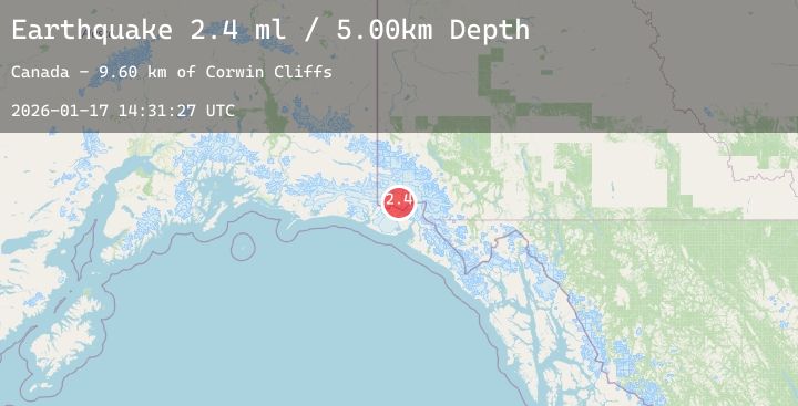
A 2.4 magnitude earthquake struck on 91 km NNW of Yakutat, Alaska, at Sat, 17 Jan 2026 14:31:27 GMT. Depth: 5km. Reviewed by USGS seismologists, this minor quake occurred at a magnitude type of ml.
Magnitude
2.4
ml
Source
USGS
Intensity
-
Agency Reports
1 Sources| Source | Magnitude | Depth | Time |
|---|---|---|---|
| USGSPrimary | 2.4 | 5 km | 2 hours ago |
Earthquake Details
AutomaticEvent IDusgs_ak2026bemnbh
Tsunami PotentialNo
Magnitude Typeml
Nearest Places
- Corwin Cliffs9.6 km
- Seward Glacier12.3 km
- Mount Eaton13.8 km
- Mount Owen14.8 km
- Augusta Glacier15.9 km
Comments
Join the discussion about this event.
Latest Earthquakes
2.9Mag
Seram, Indonesia
Time2 hours ago
Depth10.00 km
SourceBMKG (Automatic)
2.1Mag
Java, Indonesia
Time2 hours ago
Depth119.23 km
SourceBMKG (Automatic)
2.7Mag
Java, Indonesia
Time2 hours ago
Depth28.38 km
SourceBMKG (Automatic)
1.7Mag
CENTRAL TURKEY
Time2 hours ago
Depth11.80 km
SourceEMSC (Automatic)
0.7Mag
10 km WNW of The Geysers, CA
Time2 hours ago
Depth2.70 km
SourceUSGS (Automatic)
Nearby Earthquakes
No significant earthquakes nearby recently.