Earthquake 58 km WNW of Sitka, Alaska
Sat, 17 Jan 2026 21:45:51 GMT
Time1 hour ago
Location
57.1700, -136.2720
Depth
2.4 KM
Event Summary
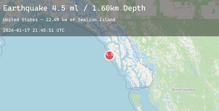
A 4.0 magnitude earthquake struck on 58 km WNW of Sitka, Alaska, at Sat, 17 Jan 2026 21:45:51 GMT. Depth: 2.4km. Reviewed by USGS seismologists, this light quake occurred at a magnitude type of ml.
Magnitude
4.0
ml
Source
USGS
Intensity
-
Agency Reports
2 Sources| Source | Magnitude | Depth | Time |
|---|---|---|---|
| USGSPrimary | 4.0 | 2 km | 1 hour ago |
| AK | 4.0 | 2 km | 1 hour ago |
Earthquake Details
ConfirmedEvent IDusgs_ak2026bfaxka
Tsunami PotentialNo
Magnitude Typeml
Nearest Places
- Point Amelia24.7 km
- Sealion Island26.6 km
- Slaughter Island26.8 km
- Point Mary27.0 km
- Sealion Islands27.0 km
Comments
Join the discussion about this event.
Latest Earthquakes
2.4Mag
Java, Indonesia
Time1 hour ago
Depth6.66 km
SourceBMKG (Automatic)
3.9Mag
ATACAMA, CHILE
Time1 hour ago
Depth124.30 km
SourceCSN (Automatic)
1.3Mag
5 km S of Loyola, CA
Time1 hour ago
Depth7.99 km
SourceUSGS (Automatic)
1.2Mag
13 km SSE of Bodfish, CA
Time1 hour ago
Depth1.23 km
SourceUSGS (Automatic)
1.8Mag
31 km SSE of Mina, Nevada
Time1 hour ago
Depth9.99 km
SourceUSGS (Automatic)
Nearby Earthquakes
No significant earthquakes nearby recently.