Earthquake 97 km S of Kokhanok, Alaska
Tue, 27 Jan 2026 15:18:48 GMT
Time1 hour ago
Location
58.5640, -154.6590
Depth
5.0 KM
Event Summary
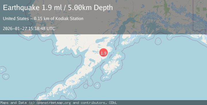
A 1.9 magnitude earthquake struck on 97 km S of Kokhanok, Alaska, at Tue, 27 Jan 2026 15:18:48 GMT. Depth: 5km. Reviewed by USGS seismologists, this minor quake occurred at a magnitude type of ml.
Magnitude
1.9
ml
Source
USGS
Intensity
-
Agency Reports
1 Sources| Source | Magnitude | Depth | Time |
|---|---|---|---|
| USGSPrimary | 1.9 | 5 km | 1 hour ago |
Earthquake Details
AutomaticEvent IDusgs_ak2026bwxiqn
Tsunami PotentialNo
Magnitude Typeml
Nearest Places
- Wolverine Falls4.3 km
- Rainbow River9.2 km
- Gorge Creek10.5 km
- Nauklak (historical)16.1 km
- Hook Glacier16.1 km
Comments
Join the discussion about this event.
Latest Earthquakes
3.4Mag
Banda Sea
Time9 minutes ago
Depth159.46 km
SourceBMKG (Automatic)
2.3Mag
SICILY, ITALY
Time13 minutes ago
Depth7.70 km
SourceINGV (Automatic)
3.2Mag
Talaud Islands, Indonesia
Time13 minutes ago
Depth32.03 km
SourceBMKG (Automatic)
3.4Mag
BAJA CALIFORNIA, MEXICO
Time16 minutes ago
Depth20.40 km
SourceSCSN (Automatic)
3.4Mag
Southwest of Sumatra, Indonesia
Time17 minutes ago
Depth10.00 km
SourceBMKG (Automatic)
Nearby Earthquakes
1.1Mag
102 km S of Kokhanok, Alaska
Time5 days ago
Depth65.40 km
SourceUSGS (Automatic)
1.5Mag
100 km N of Karluk, Alaska
Time2 days ago
Depth5.00 km
SourceUSGS (Automatic)
2.8Mag
64 km SSE of Kokhanok, Alaska
Time6 days ago
Depth129.50 km
SourceUSGS (Automatic)
2.5Mag
89 km NNW of Karluk, Alaska
Time28 minutes ago
Depth5.00 km
SourceUSGS (Automatic)
0.9Mag
85 km NNW of Karluk, Alaska
Time4 days ago
Depth5.00 km
SourceUSGS (Automatic)