Earthquake 21 km SE of Livengood, Alaska
Tue, 27 Jan 2026 21:22:51 GMT
Time3 hours ago
Location
65.3910, -148.2030
Depth
8.6 KM
Event Summary
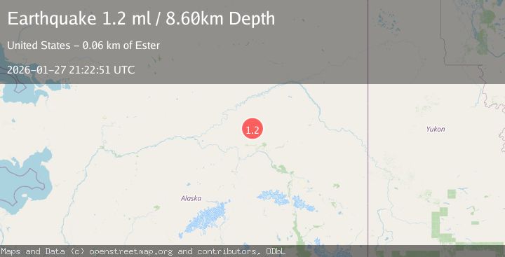
A 1.2 magnitude earthquake struck on 21 km SE of Livengood, Alaska, at Tue, 27 Jan 2026 21:22:51 GMT. Depth: 8.6km. Reviewed by USGS seismologists, this minor quake occurred at a magnitude type of ml.
Magnitude
1.2
ml
Source
USGS
Intensity
-
Agency Reports
1 Sources| Source | Magnitude | Depth | Time |
|---|---|---|---|
| USGSPrimary | 1.2 | 9 km | 3 hours ago |
Earthquake Details
AutomaticEvent IDusgs_ak2026bxjkjg
Tsunami PotentialNo
Magnitude Typeml
Nearest Places
- O'Brien Creek7.2 km
- Bridge Creek8.9 km
- Tatalina Road House9.4 km
- Dominion Creek9.8 km
- McCord Creek10.0 km
Comments
Join the discussion about this event.
Latest Earthquakes
2.8Mag
63 km SE of Denali National Park, Alaska
Time6 minutes ago
Depth123.60 km
SourceUSGS (Automatic)
3.9Mag
West Papua Region, Indonesia
Time8 minutes ago
Depth17.51 km
SourceBMKG (Automatic)
1.5Mag
6 km W of Holtville, CA
Time9 minutes ago
Depth8.56 km
SourceUSGS (Automatic)
1.6Mag
2 km NW of The Geysers, CA
Time9 minutes ago
Depth1.46 km
SourceUSGS (Automatic)
2.3Mag
Flores Region, Indonesia
Time11 minutes ago
Depth105.89 km
SourceBMKG (Automatic)
Nearby Earthquakes
0.5Mag
20 km SE of Livengood, Alaska
Time1 day ago
Depth8.40 km
SourceUSGS (Automatic)
1.1Mag
14 km ENE of Livengood, Alaska
Time11 hours ago
Depth11.40 km
SourceUSGS (Automatic)
1.0Mag
20 km ENE of Livengood, Alaska
Time4 days ago
Depth10.40 km
SourceUSGS (Automatic)
0.5Mag
22 km ENE of Livengood, Alaska
Time4 days ago
Depth10.30 km
SourceUSGS (Automatic)
1.0Mag
28 km SSW of Livengood, Alaska
Time3 days ago
Depth5.00 km
SourceUSGS (Automatic)