Earthquake 93 km ESE of Ruby, Alaska
Sat, 31 Jan 2026 21:02:55 GMT
Time1 week ago
Location
64.5590, -153.5670
Depth
0.8 KM
Event Summary
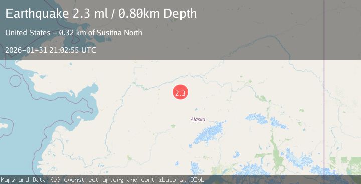
A 2.3 magnitude earthquake struck on 93 km ESE of Ruby, Alaska, at Sat, 31 Jan 2026 21:02:55 GMT. Depth: 0.8km. Reviewed by USGS seismologists, this minor quake occurred at a magnitude type of ml.
Magnitude
2.3
ml
Source
USGS
Intensity
-
Agency Reports
1 Sources| Source | Magnitude | Depth | Time |
|---|---|---|---|
| USGSPrimary | 2.3 | 1 km | 1 week ago |
Earthquake Details
AutomaticEvent IDusgs_ak2026cerqsd
Tsunami PotentialNo
Magnitude Typeml
Nearest Places
- Grand Creek7.5 km
- Big Mud River9.8 km
- Nowitna National Wildlife Refuge20.1 km
- Titna River20.7 km
- California Creek22.1 km
Comments
Join the discussion about this event.
Latest Earthquakes
3.2Mag
Alaska Peninsula
Time4 hours ago
Depth1.34 km
SourceVYT (Automatic)
2.2Mag
Sumbawa Region, Indonesia
Time4 hours ago
Depth5.83 km
SourceBMKG
4.1Mag
ECUADOR
Time4 hours ago
Depth171.00 km
SourceQUI (Automatic)
0.7Mag
9 km NW of The Geysers, CA
Time4 hours ago
Depth1.89 km
SourceUSGS (Automatic)
2.4Mag
Southeastern Alaska
Time4 hours ago
Depth0.00 km
SourceVYT (Automatic)
Nearby Earthquakes
3.1Mag
CENTRAL ALASKA
Time6 hours ago
Depth5.40 km
SourceAK (Automatic)
1.5Mag
53 km NE of Lake Minchumina, Alaska
Time1 week ago
Depth1.90 km
SourceUSGS (Automatic)
1.5Mag
21 km SSW of Manley Hot Springs, Alaska
Time14 hours ago
Depth12.80 km
SourceUSGS (Automatic)
1.4Mag
15 km WSW of Manley Hot Springs, Alaska
Time3 days ago
Depth5.90 km
SourceUSGS (Automatic)
1.6Mag
13 km SSW of Manley Hot Springs, Alaska
Time2 weeks ago
Depth5.00 km
SourceUSGS (Automatic)