Earthquake 65 km SSW of Kaktovik, Alaska
Wed, 11 Feb 2026 19:36:18 GMT
Time2 weeks ago
Location
69.5630, -144.0420
Depth
74.3 KM
Event Summary
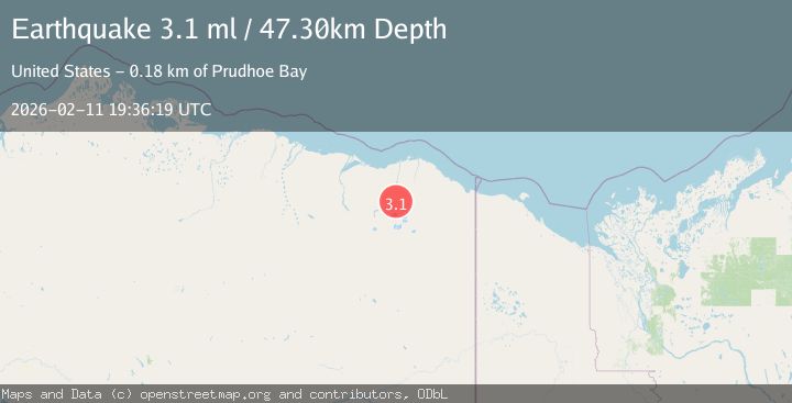
A 3.1 magnitude earthquake struck on 65 km SSW of Kaktovik, Alaska, at Wed, 11 Feb 2026 19:36:18 GMT. Depth: 74.3km. Reviewed by USGS seismologists, this minor quake occurred at a magnitude type of ml.
Magnitude
3.1
ml
Source
USGS
Intensity
-
Agency Reports
3 Sources| Source | Magnitude | Depth | Time |
|---|---|---|---|
| USGSPrimary | 3.1 | 74 km | 2 weeks ago |
| AK | 3.1 | 74 km | 2 weeks ago |
| NEIC | 3.1 | 47 km | 2 weeks ago |
Earthquake Details
AutomaticEvent IDusgs_ak2026cytuop
Tsunami PotentialNo
Magnitude Typeml
Nearest Places
- 13.1 km
- 15.4 km
- 15.6 km
- 16.0 km
- 16.1 km
Comments
Join the discussion about this event.
Latest Earthquakes
2.3Mag
Arizona
Time2 minutes ago
Depth39.79 km
SourceVYT (Automatic)
1.5Mag
Central Alaska
Time4 minutes ago
Depth0.00 km
SourceVYT (Automatic)
3.1Mag
Sulawesi, Indonesia
Time7 minutes ago
Depth0.00 km
SourceVYT (Automatic)
2.0Mag
85 km NE of Tonopah, Nevada
Time17 minutes ago
Depth8.66 km
SourceUSGS (Automatic)
3.7Mag
Southern Alaska
Time18 minutes ago
Depth100.22 km
SourceVYT (Automatic)
Nearby Earthquakes
3.0Mag
NORTHERN ALASKA
Time7 years ago
Depth0.00 km
SourceNEIC (Automatic)
3.0Mag
NORTHERN ALASKA
Time7 years ago
Depth0.00 km
SourceNEIC (Automatic)
4.0Mag
NORTHERN ALASKA
Time5 years ago
Depth10.00 km
SourceNEIC (Automatic)
3.0Mag
NORTHERN ALASKA
Time7 years ago
Depth10.00 km
SourceNEIC (Automatic)
3.0Mag
NORTHERN ALASKA
Time7 years ago
Depth0.00 km
SourceNEIR (Automatic)