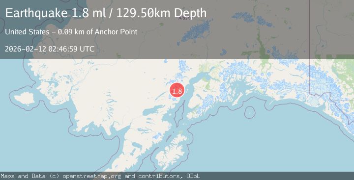
Earthquake 78 km NW of Ninilchik, Alaska
Thu, 12 Feb 2026 02:46:59 GMT
Time6 days ago
Location
60.4680, -152.8130
Depth
129.5 KM
Event Summary
A 1.8 magnitude earthquake struck on 78 km NW of Ninilchik, Alaska, at Thu, 12 Feb 2026 02:46:59 GMT. Depth: 129.5km. Reviewed by USGS seismologists, this minor quake occurred at a magnitude type of ml.
Magnitude
1.8
ml
Source
USGS
Intensity
-
Agency Reports
1 Sources| Source | Magnitude | Depth | Time |
|---|---|---|---|
| USGSPrimary | 1.8 | 130 km | 6 days ago |
Earthquake Details
AutomaticEvent IDusgs_ak2026czibae
Tsunami PotentialNo
Magnitude Typeml
Nearest Places
- Redoubt Volcano4.3 km
- Crescent Lake12.7 km
- North Fork Crescent River13.1 km
- Lake Fork Crescent River13.1 km
- Lake Fork Crescent River13.5 km
Comments
Join the discussion about this event.
Latest Earthquakes
1.1Mag
Southern Alaska
Time2 minutes ago
Depth37.11 km
SourceVYT (Automatic)
1.1Mag
Washington
Time6 minutes ago
Depth9.64 km
SourceVYT (Automatic)
1.9Mag
32 km NW of Toyah, Texas
Time8 minutes ago
Depth4.09 km
SourceUSGS (Automatic)
1.7Mag
western Texas
Time11 minutes ago
Depth3.42 km
SourceVYT (Automatic)
3.8Mag
Seram, Indonesia
Time13 minutes ago
Depth0.00 km
SourceVYT (Automatic)
Nearby Earthquakes
0.8Mag
Southern Alaska
Time5 days ago
Depth0.12 km
SourceVYT (Automatic)
1.0Mag
Southern Alaska
Time5 days ago
Depth0.00 km
SourceVYT (Automatic)
0.7Mag
Southern Alaska
Time1 week ago
Depth1.71 km
SourceVYT (Automatic)
1.6Mag
Southern Alaska
Time1 week ago
Depth0.12 km
SourceVYT (Automatic)
1.4Mag
Southern Alaska
Time6 days ago
Depth0.00 km
SourceVYT (Automatic)