Earthquake 24 km WNW of Petersville, Alaska
Tue, 17 Feb 2026 18:14:29 GMT
Time13 hours ago
Location
62.5410, -151.2370
Depth
84.1 KM
Event Summary
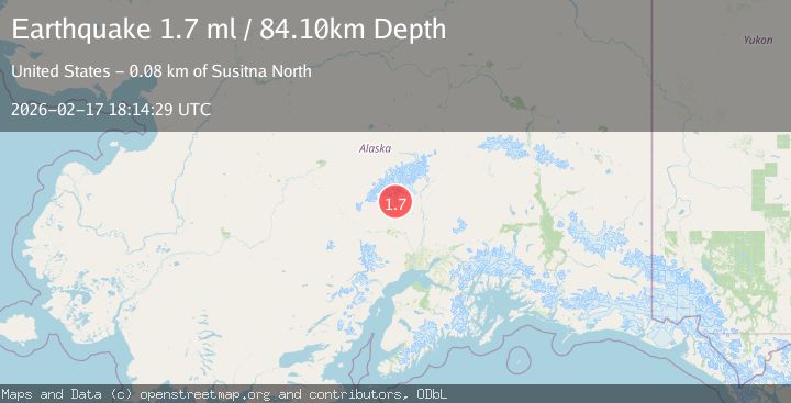
A 1.7 magnitude earthquake struck on 24 km WNW of Petersville, Alaska, at Tue, 17 Feb 2026 18:14:29 GMT. Depth: 84.1km. Reviewed by USGS seismologists, this minor quake occurred at a magnitude type of ml.
Magnitude
1.7
ml
Source
USGS
Intensity
-
Agency Reports
1 Sources| Source | Magnitude | Depth | Time |
|---|---|---|---|
| USGSPrimary | 1.7 | 84 km | 13 hours ago |
Earthquake Details
AutomaticEvent IDusgs_ak2026djrkok
Tsunami PotentialNo
Magnitude Typeml
Nearest Places
- Dutch Creek3.4 km
- Hidden Creek3.8 km
- Whistler Creek5.3 km
- Stony Creek5.8 km
- Wetbutt Creek5.9 km
Comments
Join the discussion about this event.
Latest Earthquakes
2.3Mag
Flores Sea
Time13 hours ago
Depth23.96 km
SourceBMKG
2.3Mag
NORTHERN CALIFORNIA
Time13 hours ago
Depth6.60 km
SourceNC (Automatic)
2.6Mag
OFFSHORE EL SALVADOR
Time13 hours ago
Depth37.00 km
SourceINET (Automatic)
2.4Mag
Sulawesi, Indonesia
Time13 hours ago
Depth80.44 km
SourceVYT (Automatic)
2.6Mag
Arizona
Time13 hours ago
Depth9.28 km
SourceVYT (Automatic)
Nearby Earthquakes
2.6Mag
23 km W of Petersville, Alaska
Time3 weeks ago
Depth88.80 km
SourceUSGS (Automatic)
3.0Mag
CENTRAL ALASKA
Time2 weeks ago
Depth88.60 km
SourceAK (Automatic)
2.2Mag
22 km W of Petersville, Alaska
Time2 weeks ago
Depth84.60 km
SourceUSGS (Automatic)
1.0Mag
24 km W of Petersville, Alaska
Time3 weeks ago
Depth82.10 km
SourceUSGS (Automatic)
3.0Mag
CENTRAL ALASKA
Time5 years ago
Depth84.00 km
SourceNEIC (Automatic)